portfolio
___________
Robert Barlow
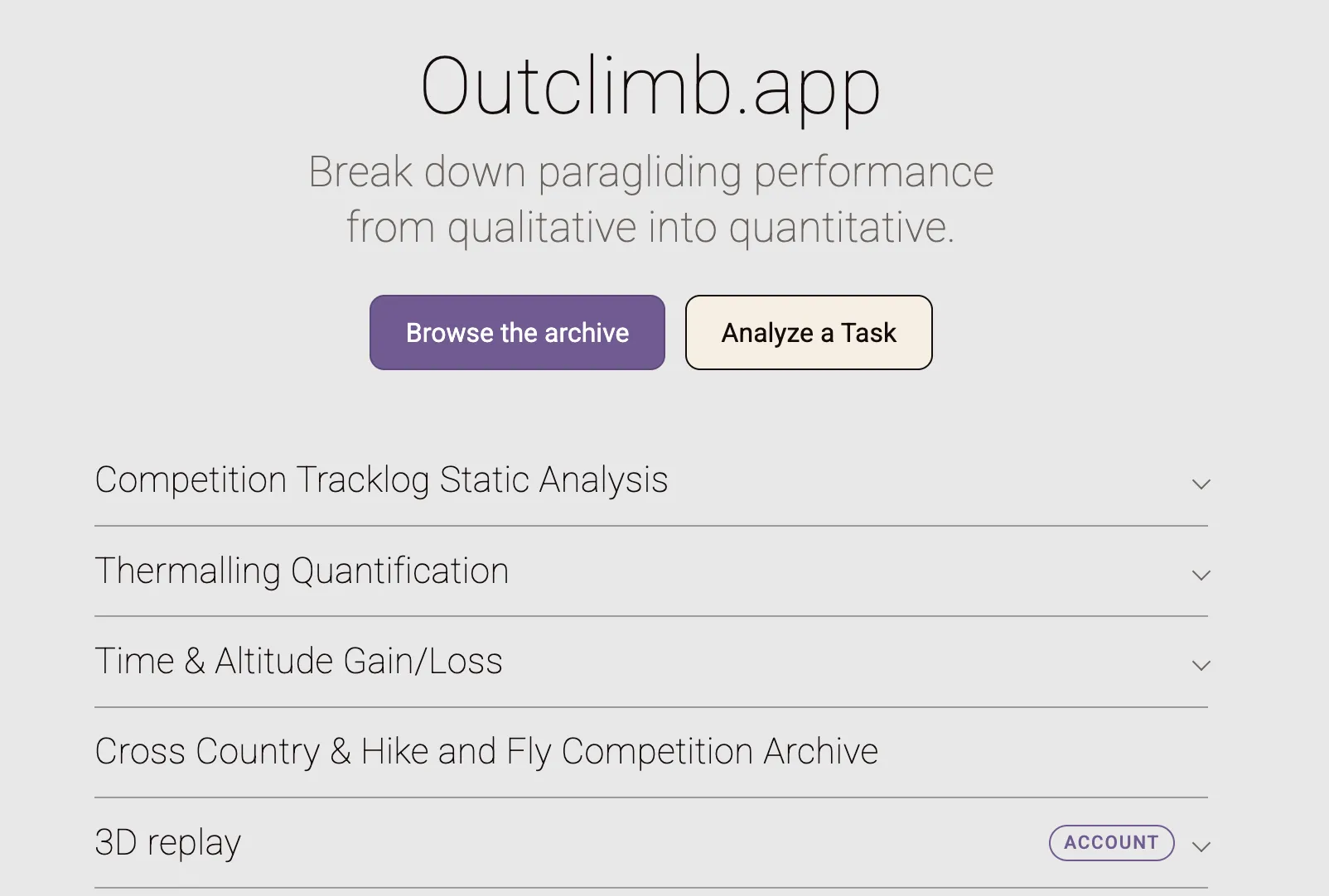
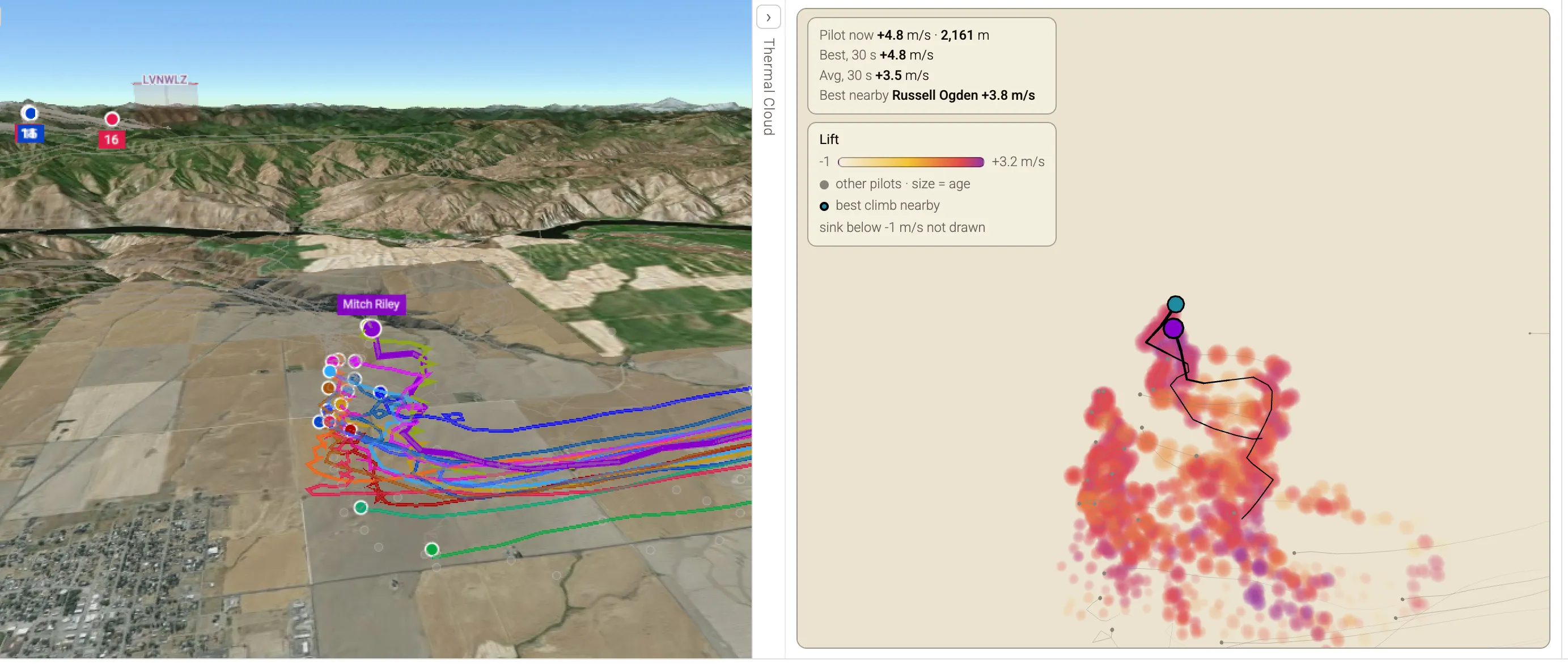
Winning in competition paragliding is a black art. As a niche sport, information about how to perform well in competition is passed verbally from pilot to pilot and learned through experience; there is nearly no writing on the subject to draw from. At the same time, there are only three main competitions each year in the US, so learning through one’s own experience alone can take decades.
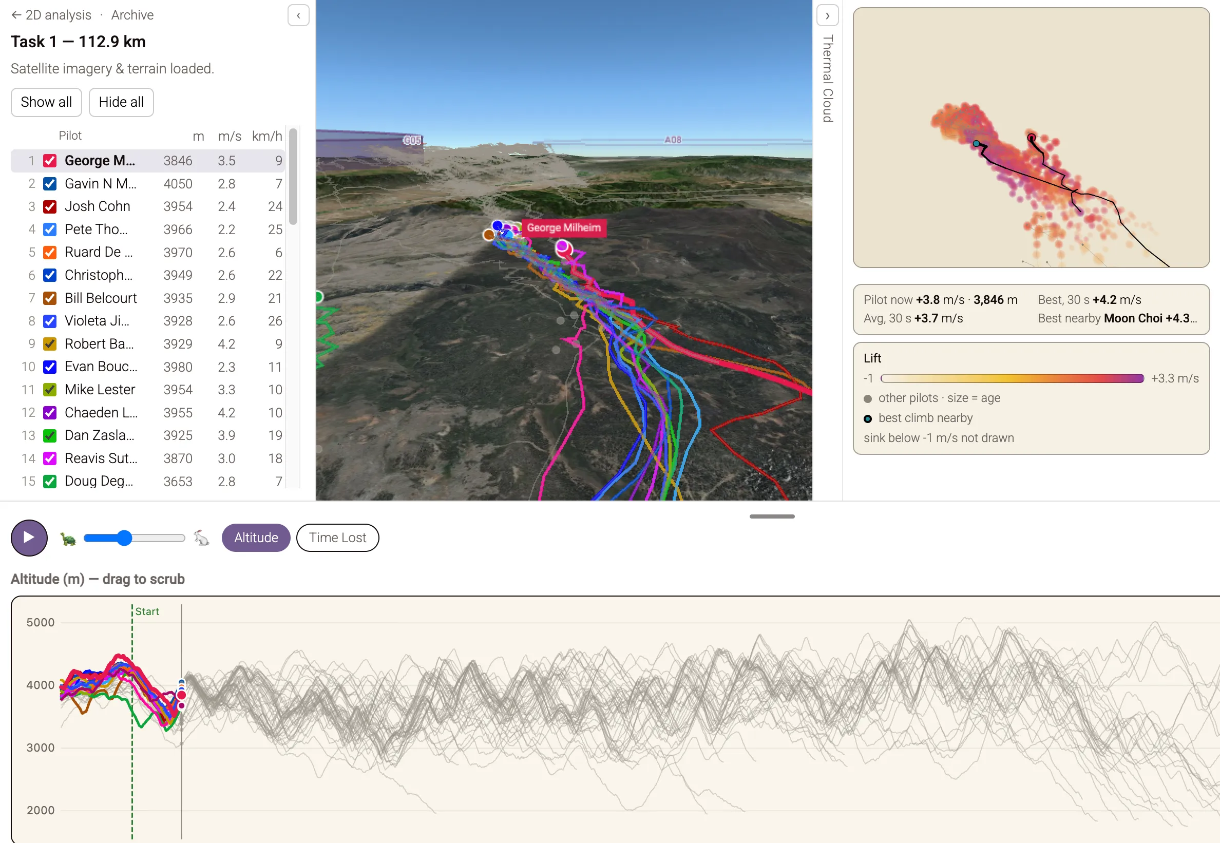
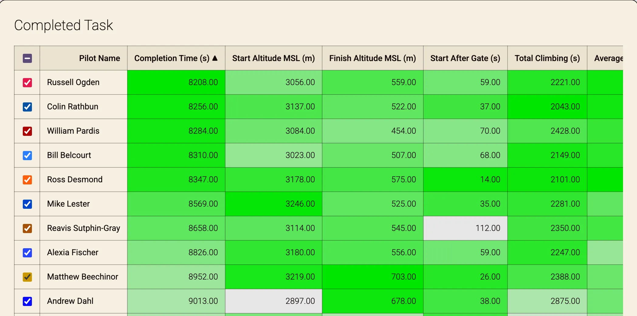
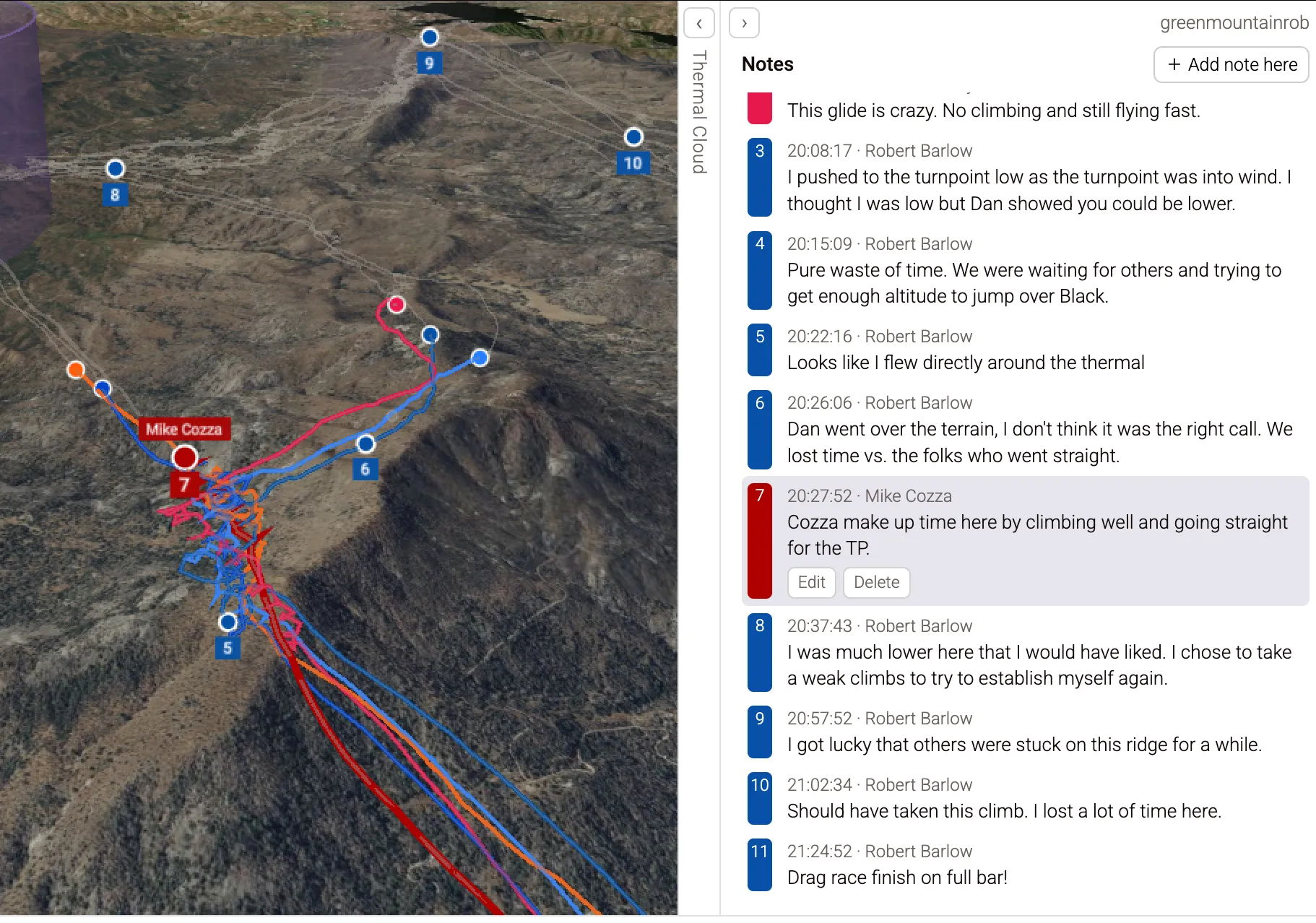
As an aspiring competition pilot myself, I have been hungry to learn as much as I can. In an attempt to supplement subjective advice and my own experience, I wrote a set of competition analysis tools in Python. At its core, flying a comp task is a competition to spend the least amount of time in each soaring regime (climbing, gliding). This tooling first breaks down each pilot’s tracklog around the task into its constituent regimes, showing quantitatively how much time was spent in each regime. Alongside this, the tooling provides the second order evidence which contributes to these times, including climb rate (e.g., Pilot A climbed faster and therefore spent less time climbing than Pilot B, despite climbing the same altitude) and total distance flown (e.g., Pilot B flew a shorter distance between turnpoints and therefore spent less time gliding than Pilot A).
Outclimb.app began as a web port of this tooling so that I wouldn’t have to pull open my laptop and Python environment each time I wanted to analyze a task. The feature set quickly grew to address different needs:
As of Aug 2026, the site is in a quiet beta with a handful of pilots from my comp circuit.
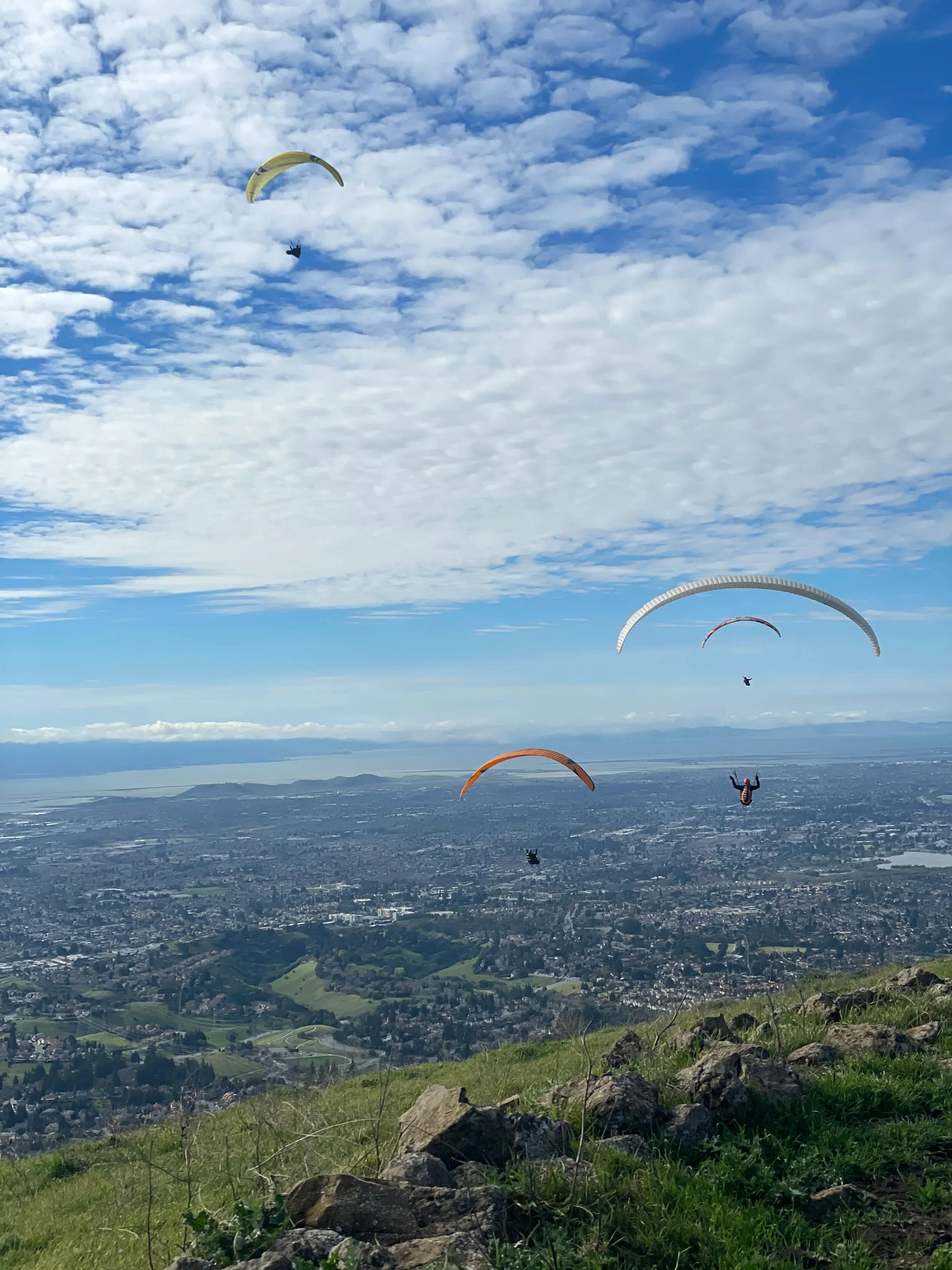
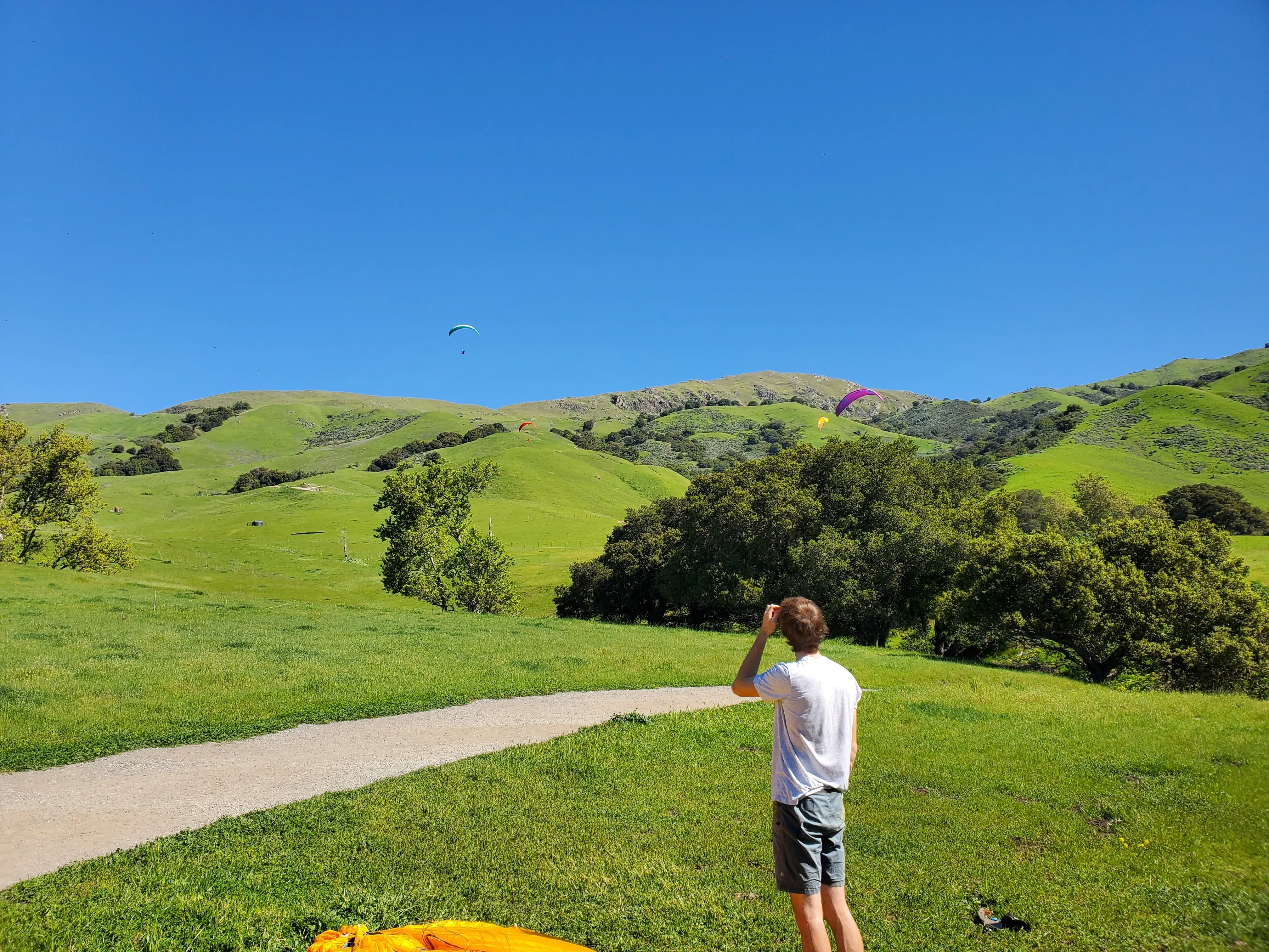
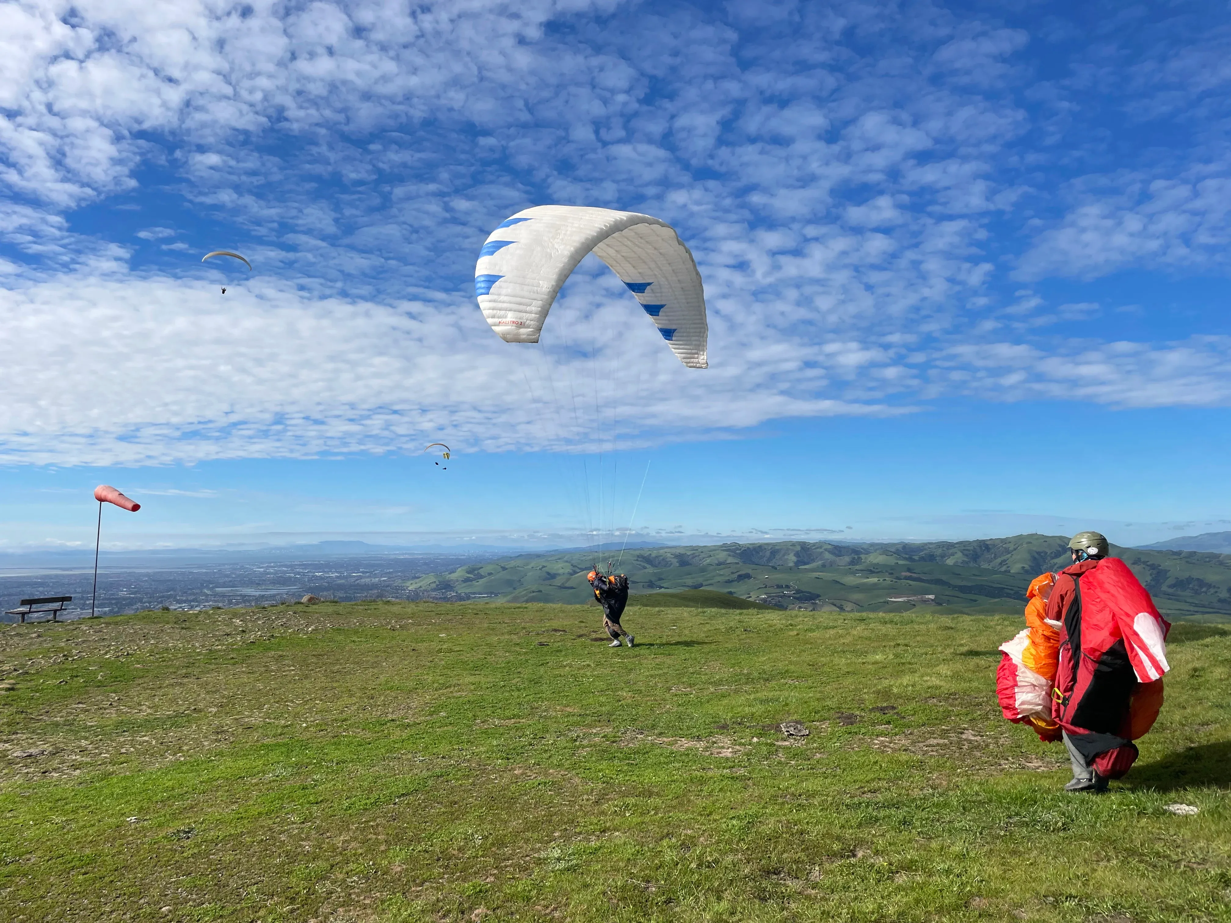
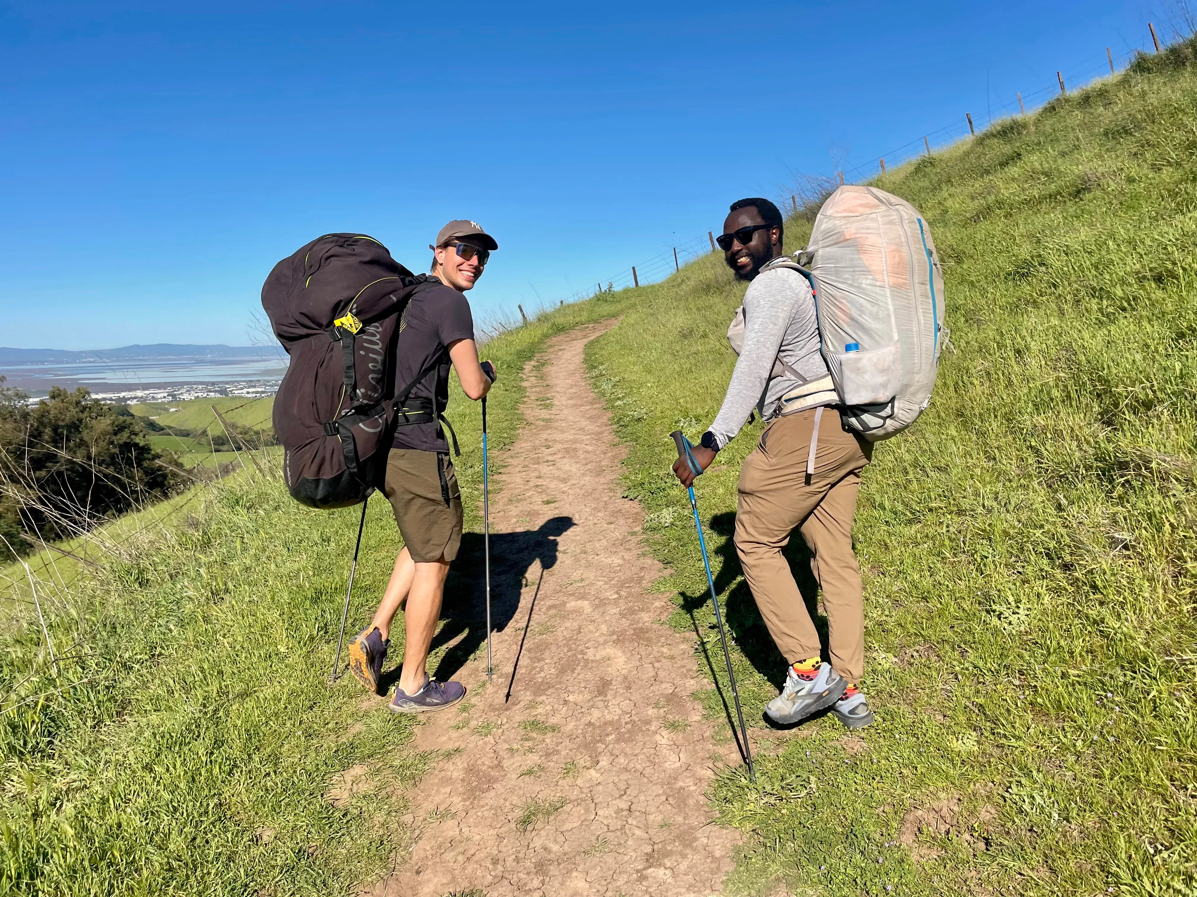
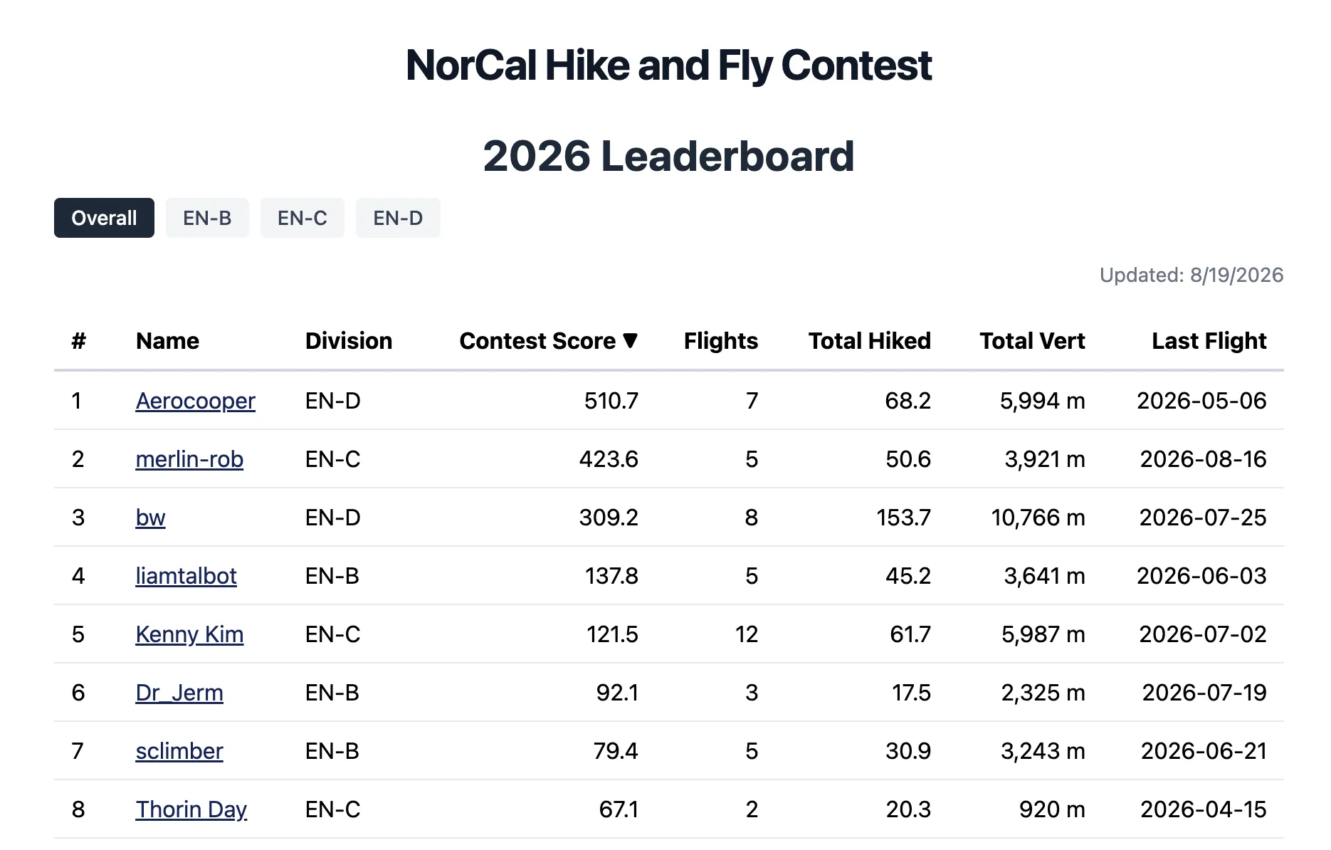

Paragliding competitions in the US are scarce, and hike & fly competitions are rarer still. Europe has the XAlps, XPyr, Dolomiti Superfly, Wanderbird, on and on, and the US only has the XRedRocks. Rather than travel internationally or wait for more chances to compete, I founded the Northern California Hike & Fly League, with 15 pilots participating in the inaugural 2026 season.
The league is season-long and informal: from April through October, pilots plan and fly routes comprising both hiking and flying, anywhere in Northern California. Pilots upload their tracklogs to norcalhf.com, where they are hosted and scored. Each pilot’s top four scores count toward the season standings.
Tracklogs are scored as the sum of the leg lengths of the largest triangle which can be made out of tracklog points. A penalty is assessed for the “closing distance” of the largest gap in the triangle (usually between where the pilot starts and where they end up). All distance on the ground is awarded extra points. Triangle scoring is a well-studied optimization problem, so I lean on the open-source igc-xc-score solver rather than reinvent it. To solve ground vs. air calculation, I tuned the library’s launch and landing detection using hike and fly tracklogs.
I designed the scoring rules as an incentive system to encourage the kind of flying I want the league to produce. The closing penalty rewards planning and completing a full triangle rather than landing wherever the day ends and hoping to be picked up. The points bonus for hiking rewards strong runners just as much as good pilots. Finally, the “fly-with-friends bonus” encourages folks to get out and enjoy the sport together.


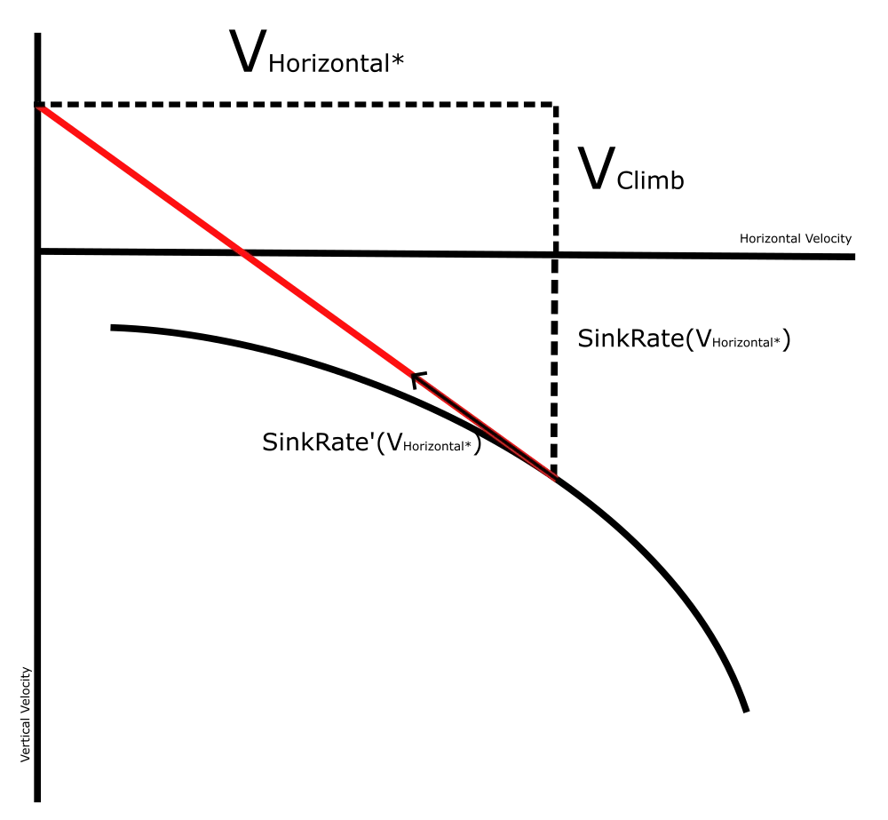

I write essays about paragliding on my website, digging into the quantitative side of free flight. Topics include the practical interpretation of MacCready speed-to-fly theory, how risk posture should shape flight regime, and how to analyze competition tracklogs to dig into pilot performance. Find them in the “Active Flying” subsection under the “Projects” dropdown.

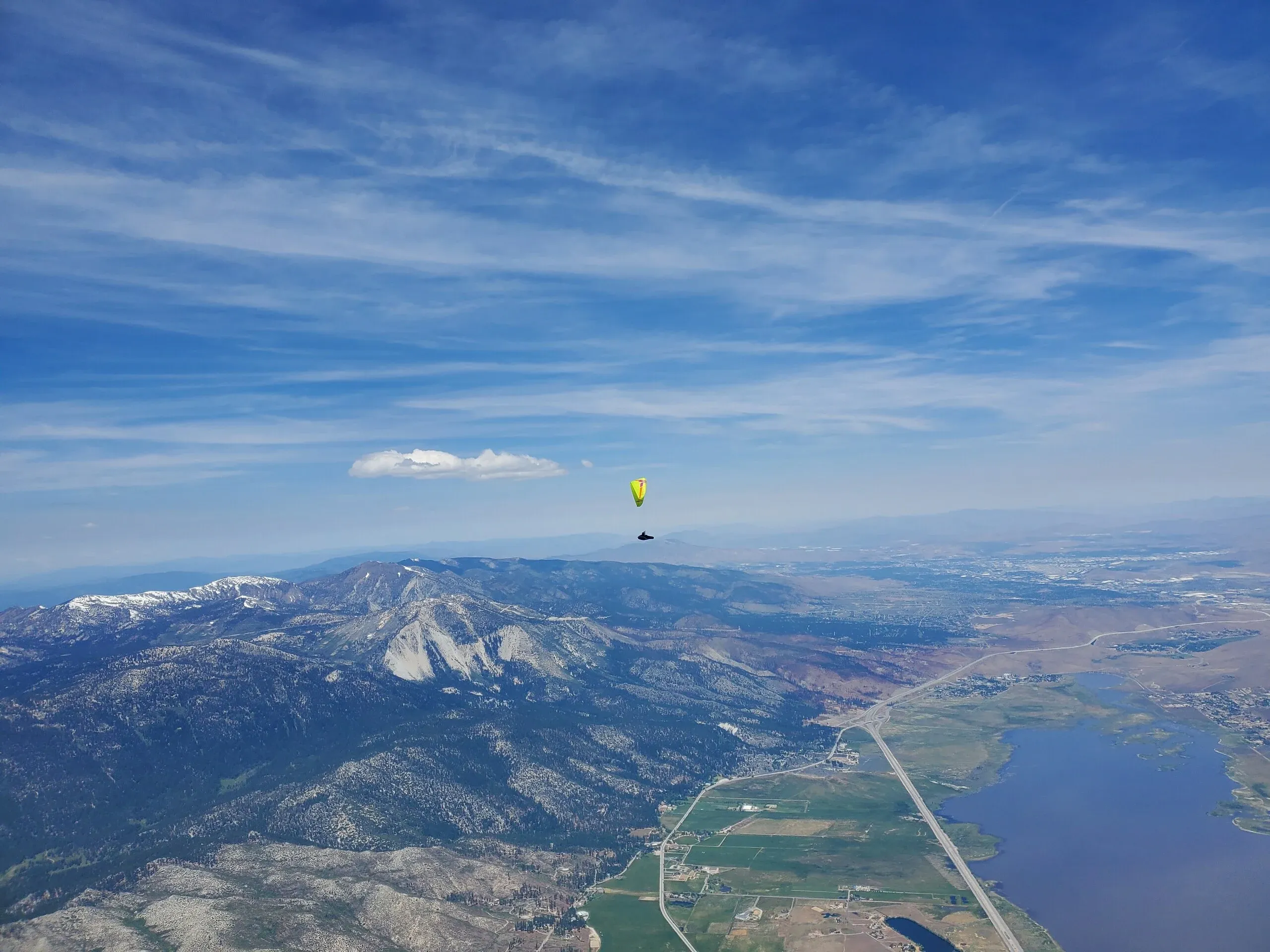
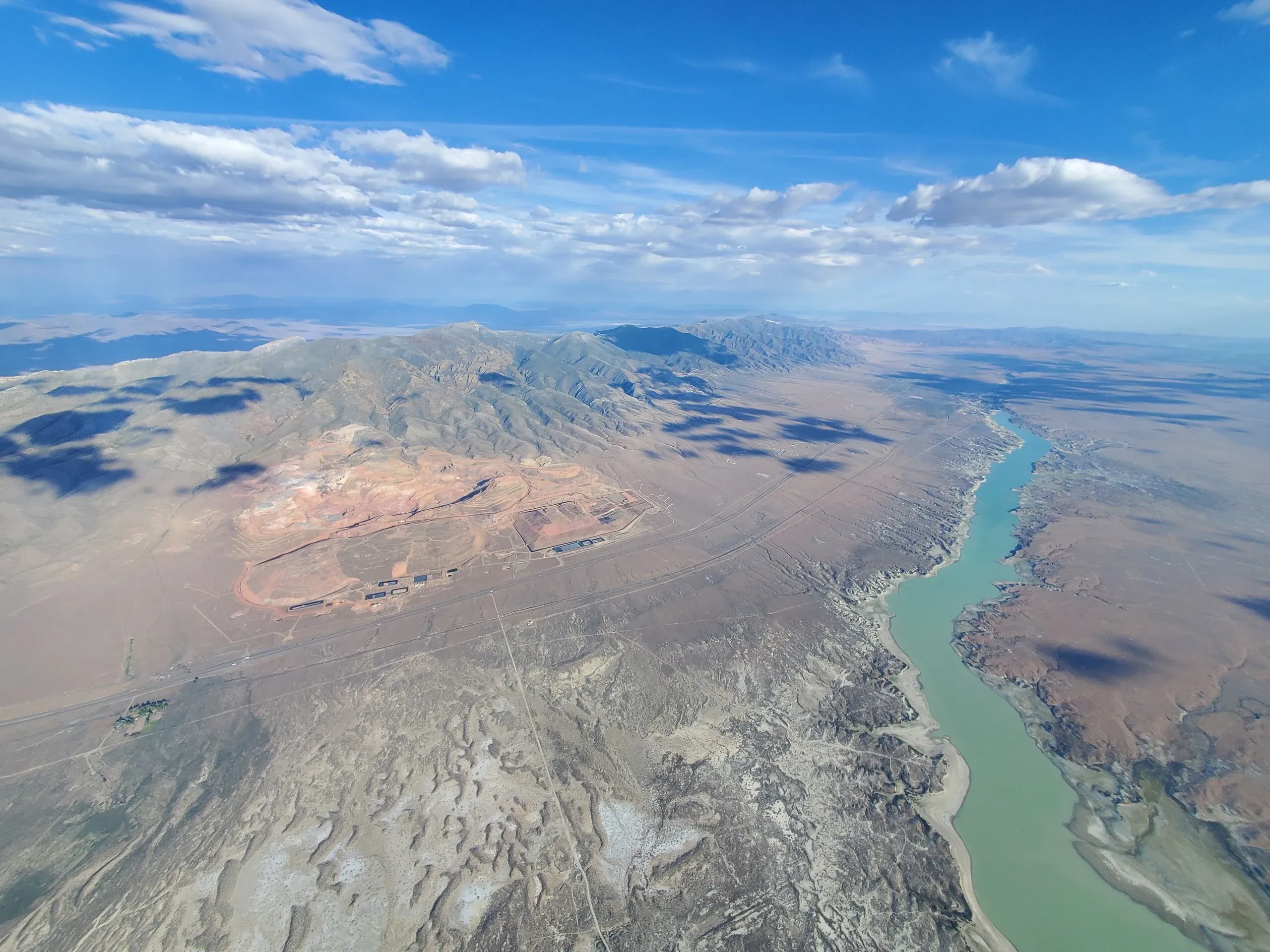

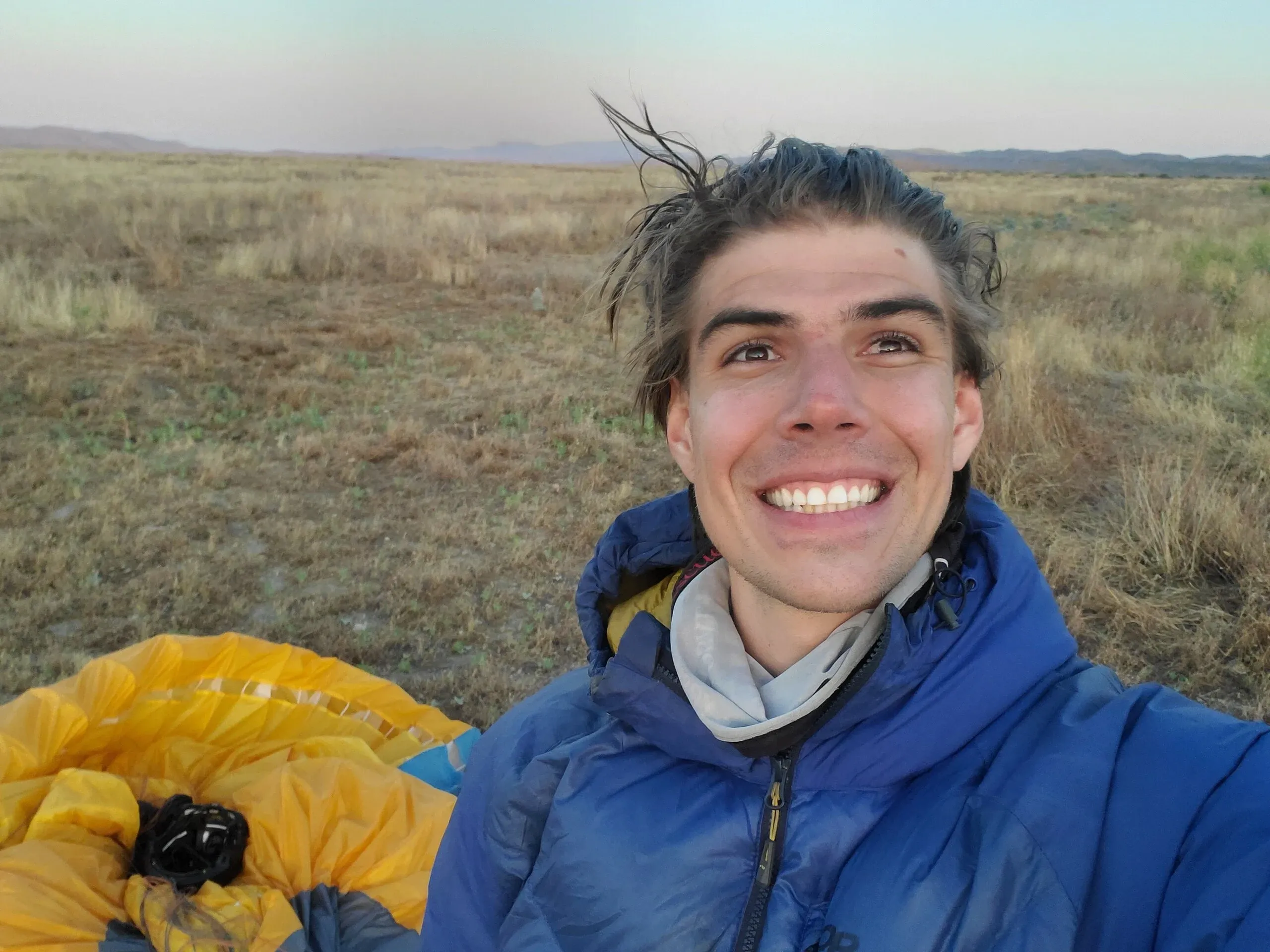

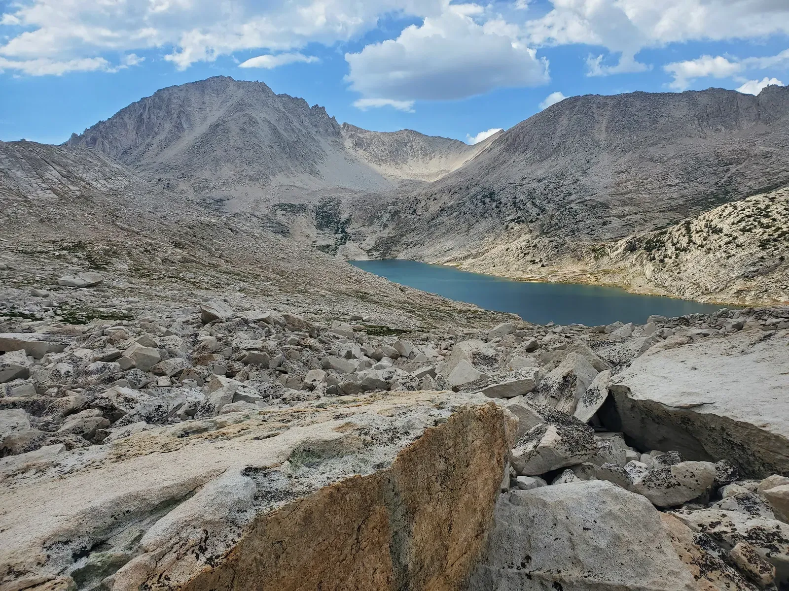
I spend a huge amount of time paragliding, skiing, and backpacking, and every now and again I write a trip report on my website. Find them in the “Trip Reports” section.
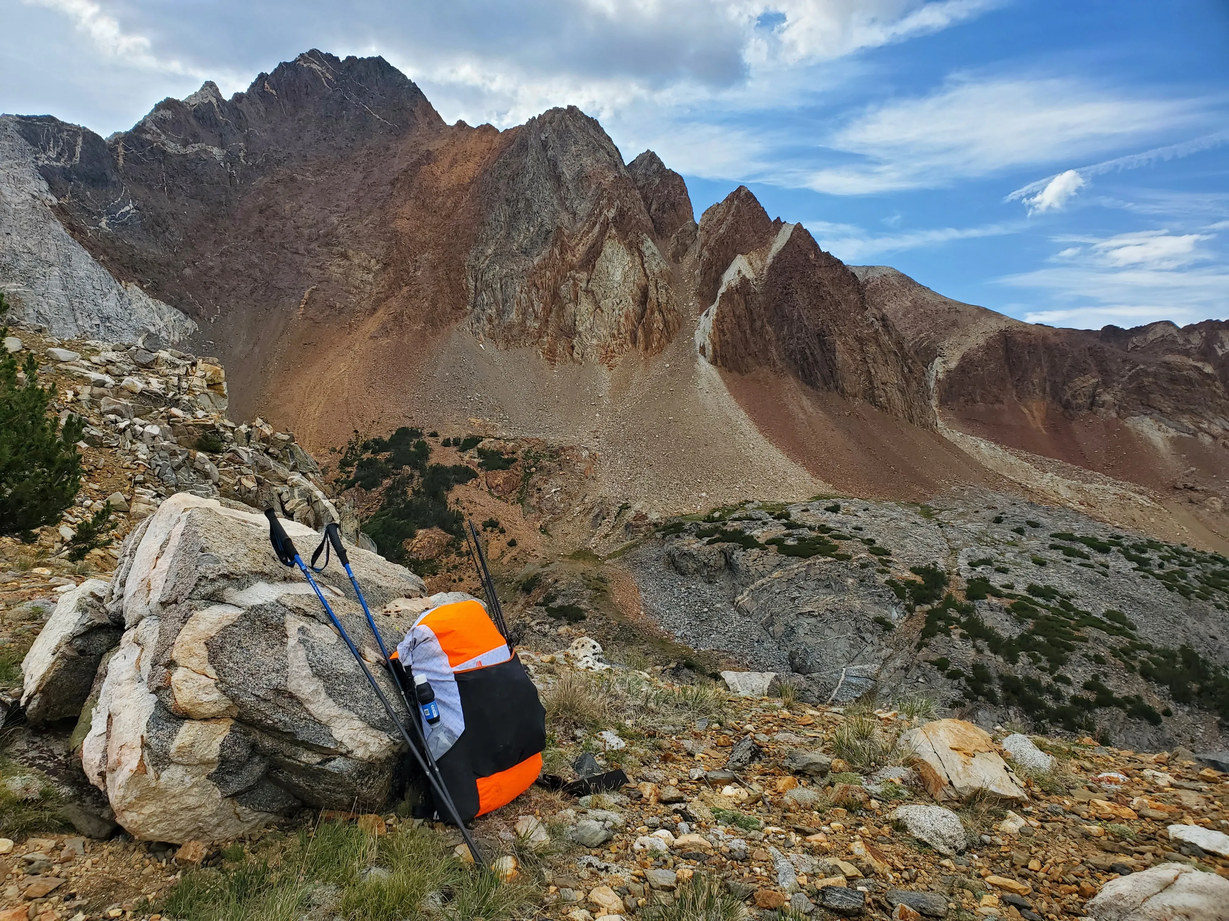
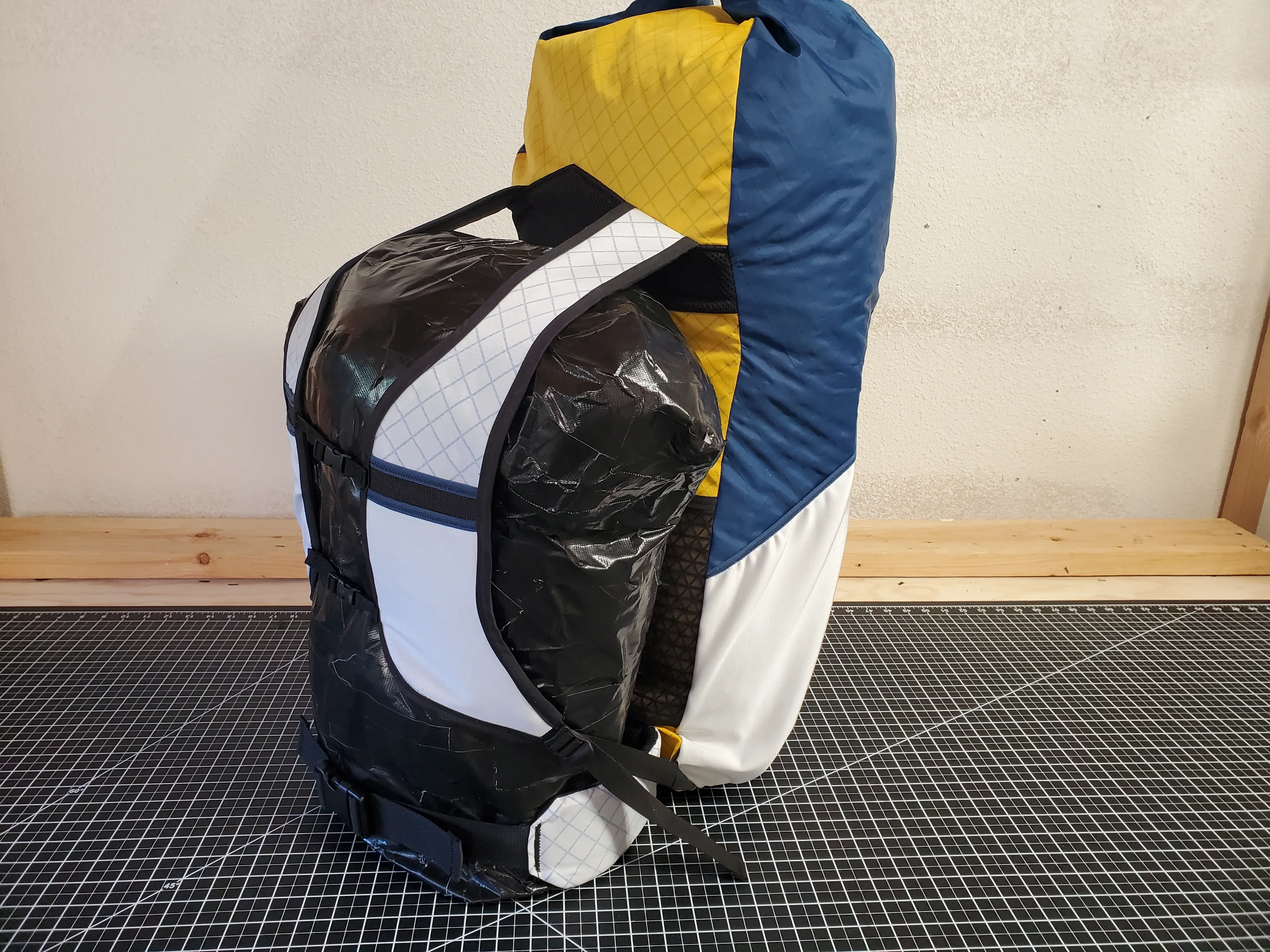
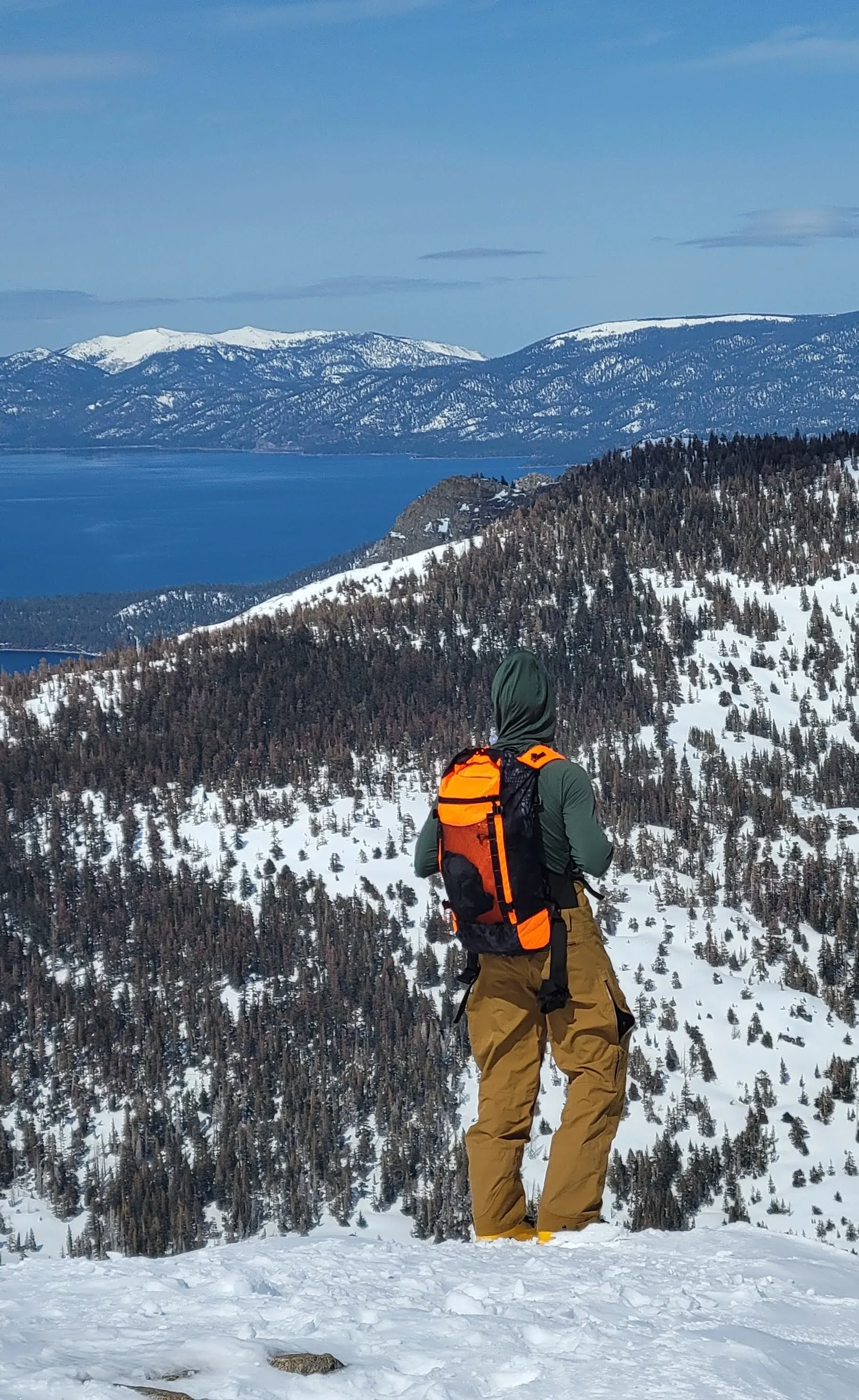
I’ve been building outdoor gear since first sewing a hammock in my senior year of high school. What began as an exercise in frugality has turned into one of my favorite hobbies. I spend countless hours backpacking, ski touring, and schlepping a paraglider to launch, and I love doing all of these activities with gear I’ve made on my back. When I make my own equipment, I own all of the development decisions, so I can build something that works for me and easily iterate when it doesn’t. These days, I run the quasi-small-business / brand Merlin Gear, making bespoke new and upcycled gear for myself and for friends.
Some of the pieces I’ve built over the years include:
Each piece begins as a 3D model in the fabric CAD software CLO 3D, where I develop the design and construction before cutting any fabric. I then print the panels as 2D pattern pieces, and cut and sew everything myself.
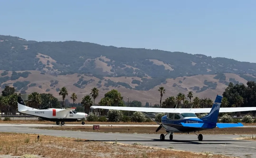
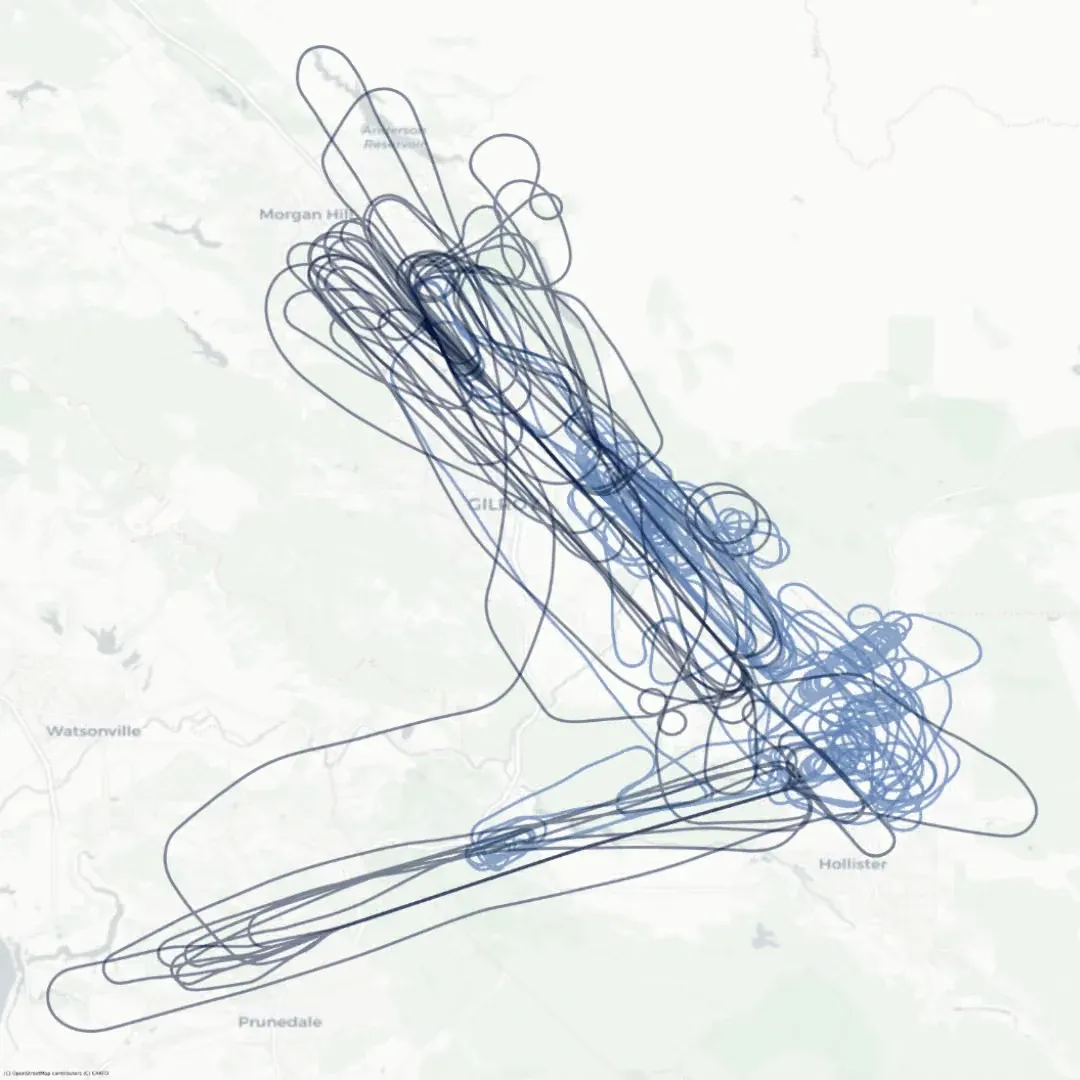
Reliable Robotics is building an STC equipment set for uncrewed operation of the Cessna Caravan. With no pilot on board to look out the window, the aircraft needs a Detect and Avoid (DAA) system to perceive and maneuver to remain well clear of other traffic. The RTCA standards body working group SC-228 has spent years developing DO-365, the minimum operational performance standard describing the system architecture and performance requirements for a DAA system on aircraft operating in the National Airspace System. The latest version of the standard describes a DAA system that can safely allow operation of a large UAS from en-route cruise down into the terminal area around an airport.
As of late 2024, no company had yet integrated a full DAA system matching the architecture and components described in DO-365C. Reliable Robotics proposed under a Broad Agency Announcement contract to the FAA that we integrate and thoroughly test such a system. Our goal was to collect flight test data on the performance of the DAA system and its critical subsystems, so that the FAA and standards committees could validate the consensus standards against a real, integrated system rather than analysis alone. I led execution of the program, across planning, integration, hardware-in-the-loop (HITL) and flight testing, and analysis.
The system under test was our optionally piloted Cessna 208B Caravan, integrated with:
Integration took roughly six months:
Test planning and execution ran from spring 2025 through the final report in September:
After all testing was completed, we delivered a final report and data package to the FAA. The FAA has published the final report, which walks through the contract in much greater detail and provides our findings.
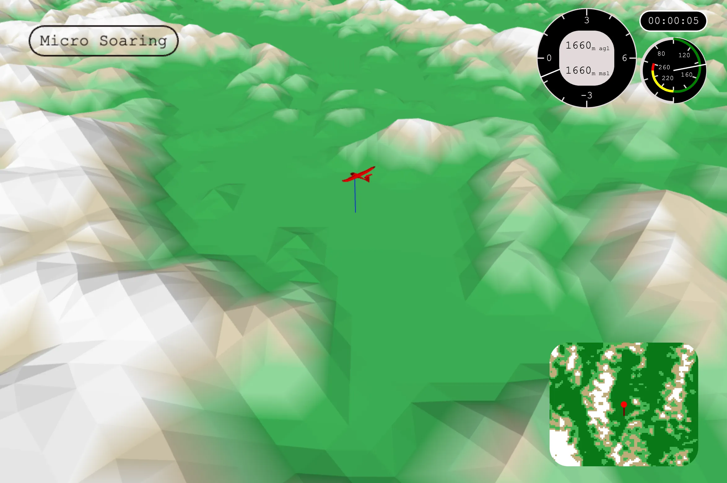
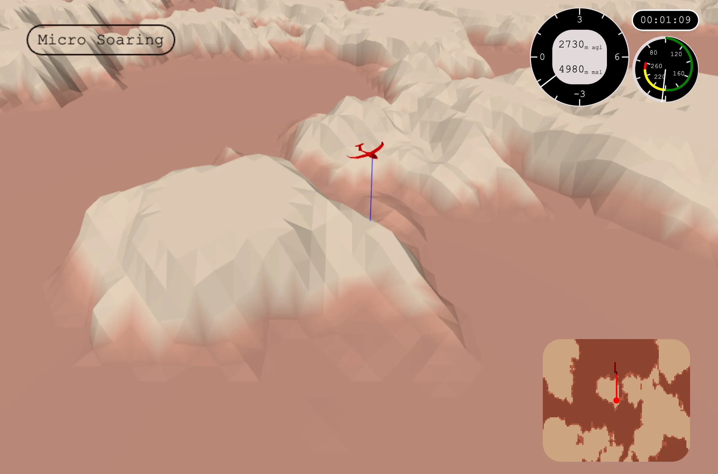
I occasionally compete in the USA National Virtual Sailplane competition circuit. Running a sailplane simulator takes a lot of equipment: a joystick, rudder pedals, a big monitor, a head tracking setup, a software license, and a desktop powerful enough to run it all. I really enjoy flying virtual sailplanes, but I think that the tactics of soaring flight that I discuss in my Insight of MacCready article could be learned in a much simpler way.
I wrote Micro Soaring as an attempt to distill down the sport into its basic elements. Micro Soaring is a browser-based sailplane simulation, where pilots climb and glide along procedurally generated terrain. I emulate the main elements of true sailplane flying (thermal formation and triggering, thermal altitude behavior, glide polar curves, etc.), but abstract away elements better learned through real world practice (thermal circling, glide route optimization, etc.).
The project is broken into four main components: terrain generation, thermal generation, the browser game, and the multiplayer backend.
Terrain generation is a Python sandbox in which Perlin noise and hydraulic erosion simulations are used to build mountain ranges and valleys.
Thermal generation is a Python particle simulation which emulates how real thermals are formed: “heat particles” are distributed randomly across the landscape based on albedo value, then perform gradient ascent across the terrain until they trigger from the terrain into a thermal.
The browser game is a JavaScript-based discretized physics soaring simulation which puts the player in a sailplane flying over the generated terrain and thermals.
Finally, the optional multiplayer server streams every glider’s position to all connected clients, sequences multiplayer round phases, and keeps a persistent high-score board.
Reliable Robotics is building an STC equipment set for uncrewed operation of the Cessna Caravan. With no pilot on board to look out the window, the aircraft needs a Detect and Avoid (DAA) system to perceive and maneuver to stay well clear of other traffic. Most traffic broadcasts its own position through a transponder and/or ADS-B OUT, but this equipment is not mandated in all airspace, and likely will not be any time soon. Aircraft flying without a transponder or ADS-B OUT are considered “non-cooperative”, and detecting them is one of the hard problems of DAA.
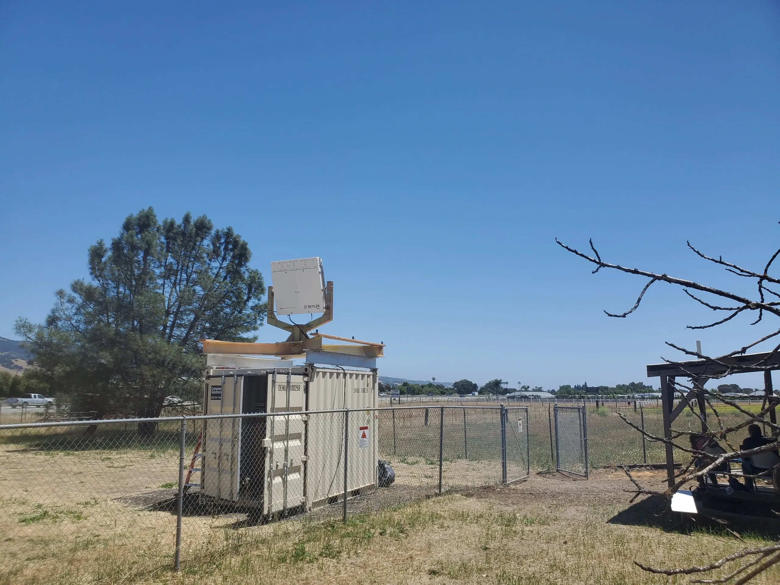
One solution is to watch the airspace from the ground. DO-365, RTCA’s minimum operational performance standard for DAA, includes a class of system which uses a ground based surveillance system (GBSS) as one of its non-cooperative traffic sources. To evaluate the performance of such systems as a potential element of Reliable Robotics’ DAA solution, Reliable took a Skyler radar system on loan from Collins Aerospace. I owned the installation and integration project from the radar’s arrival in a crate in our hangar through to its use in flight test.
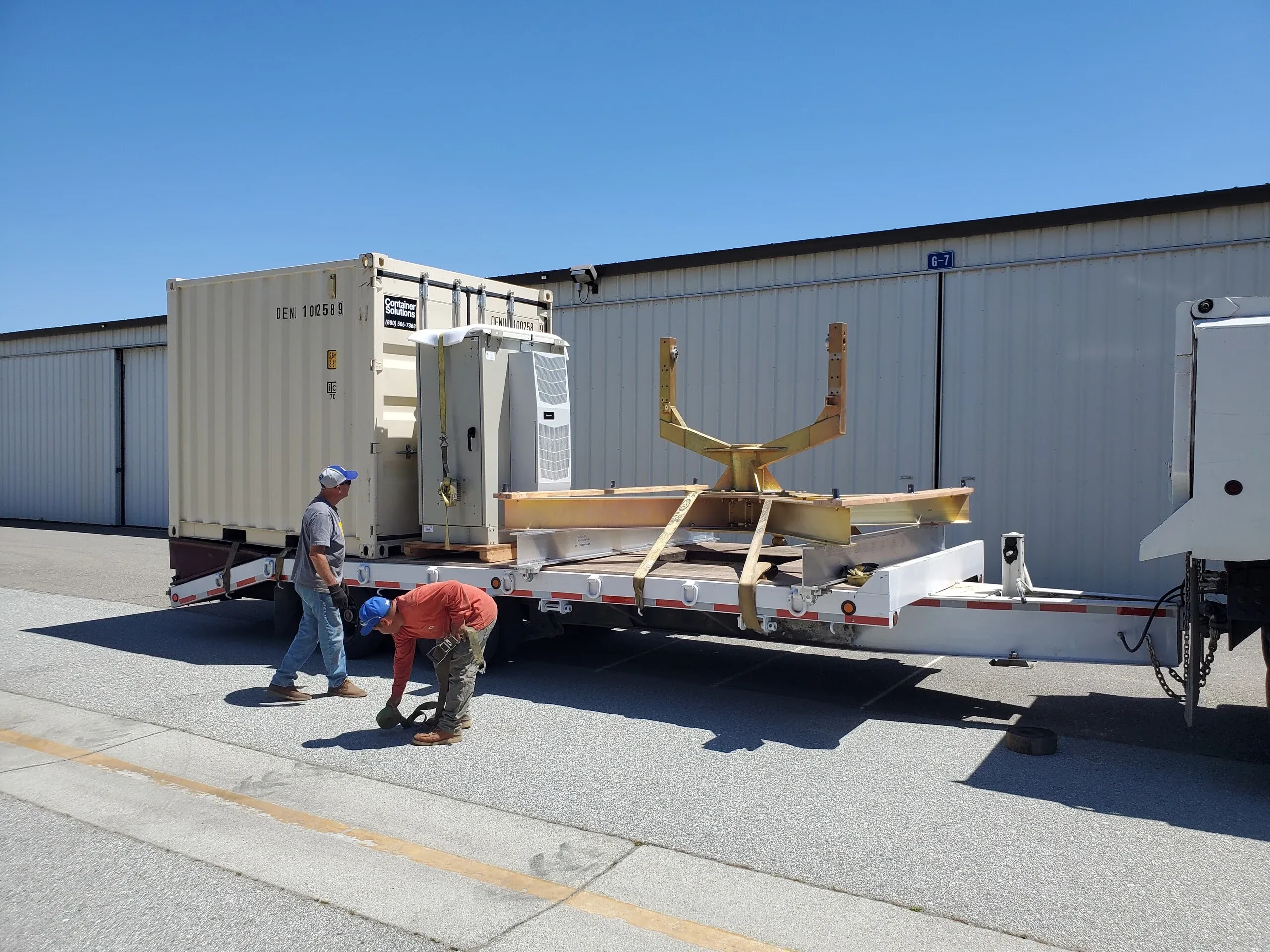
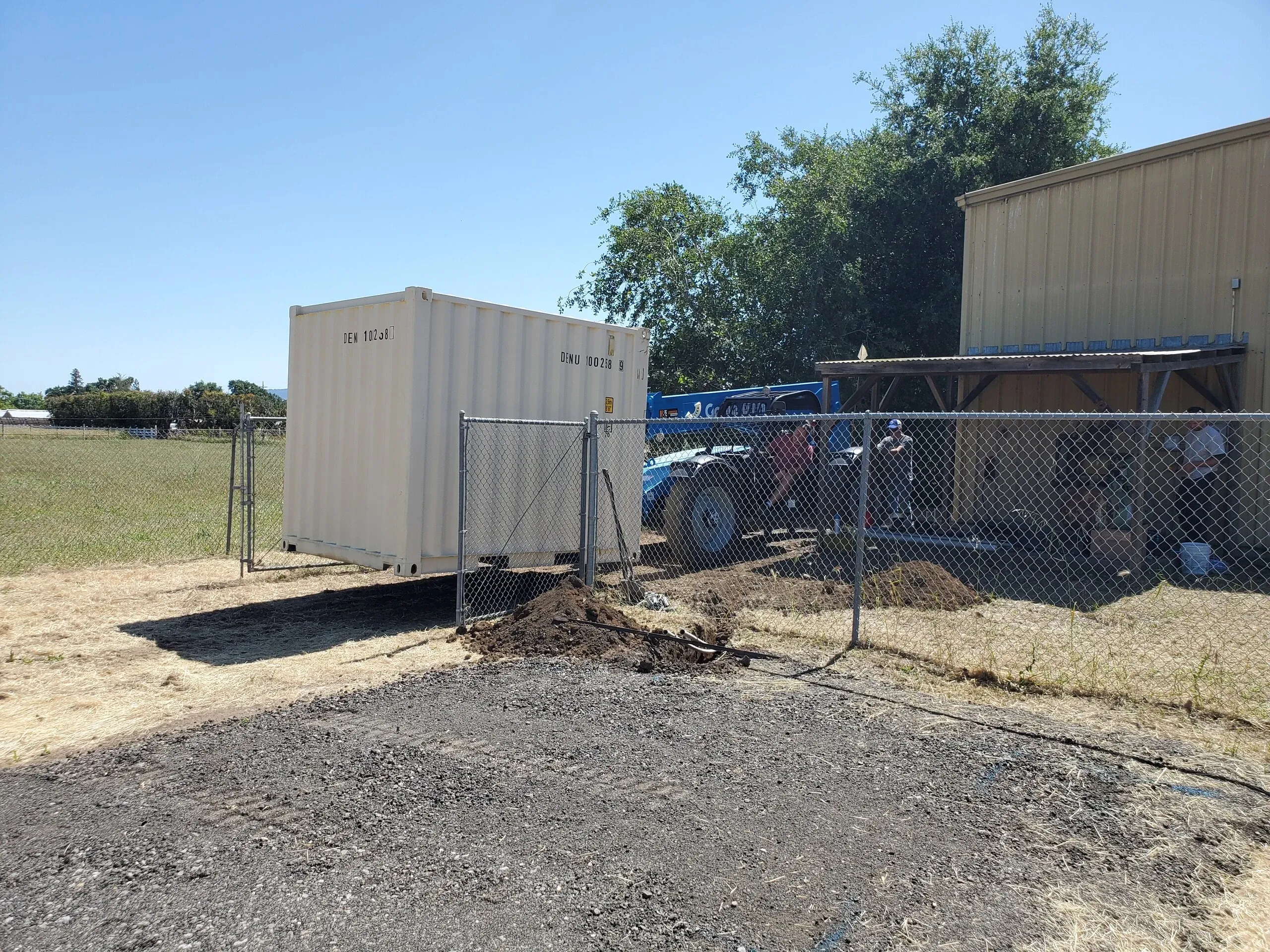
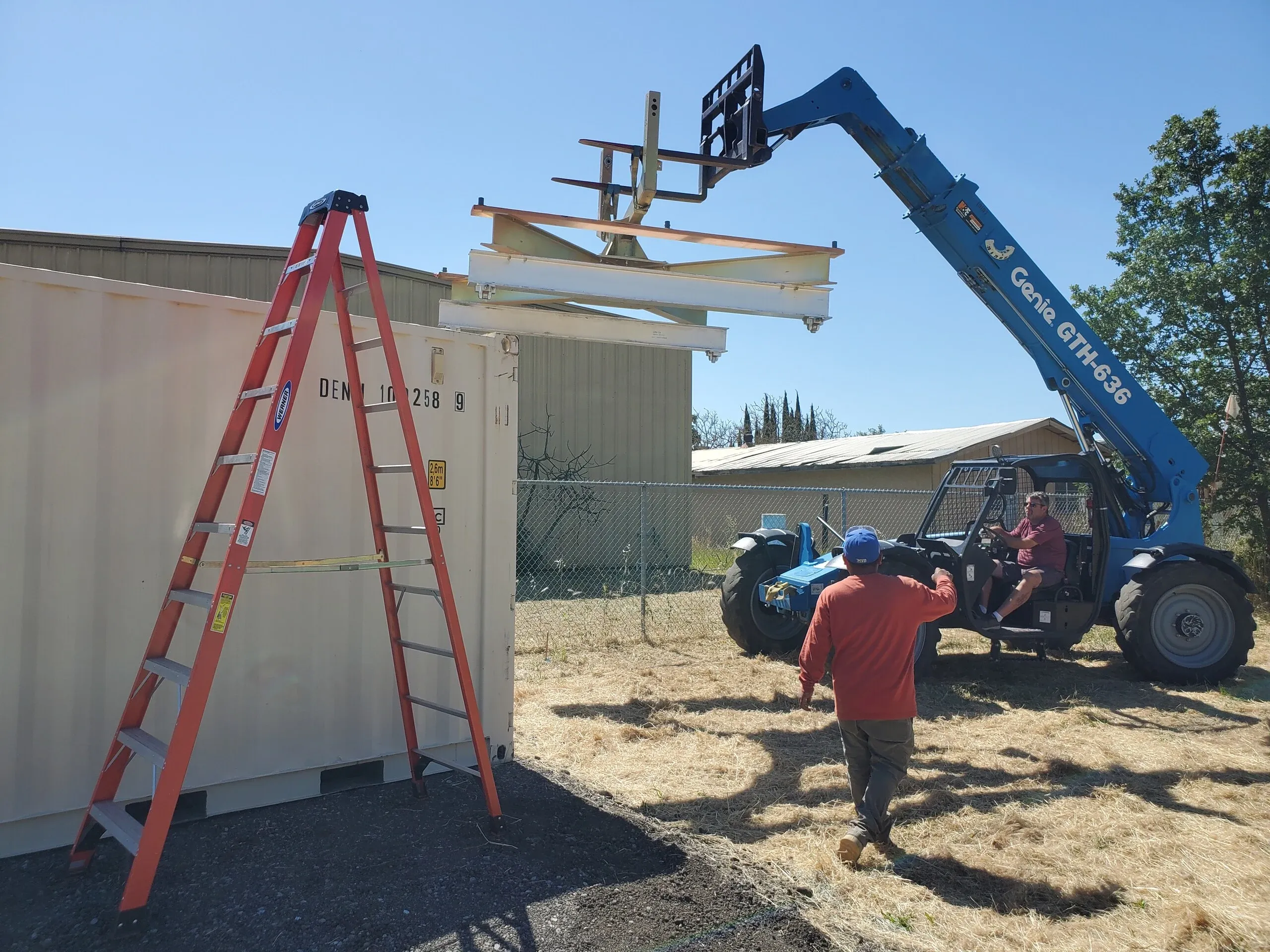
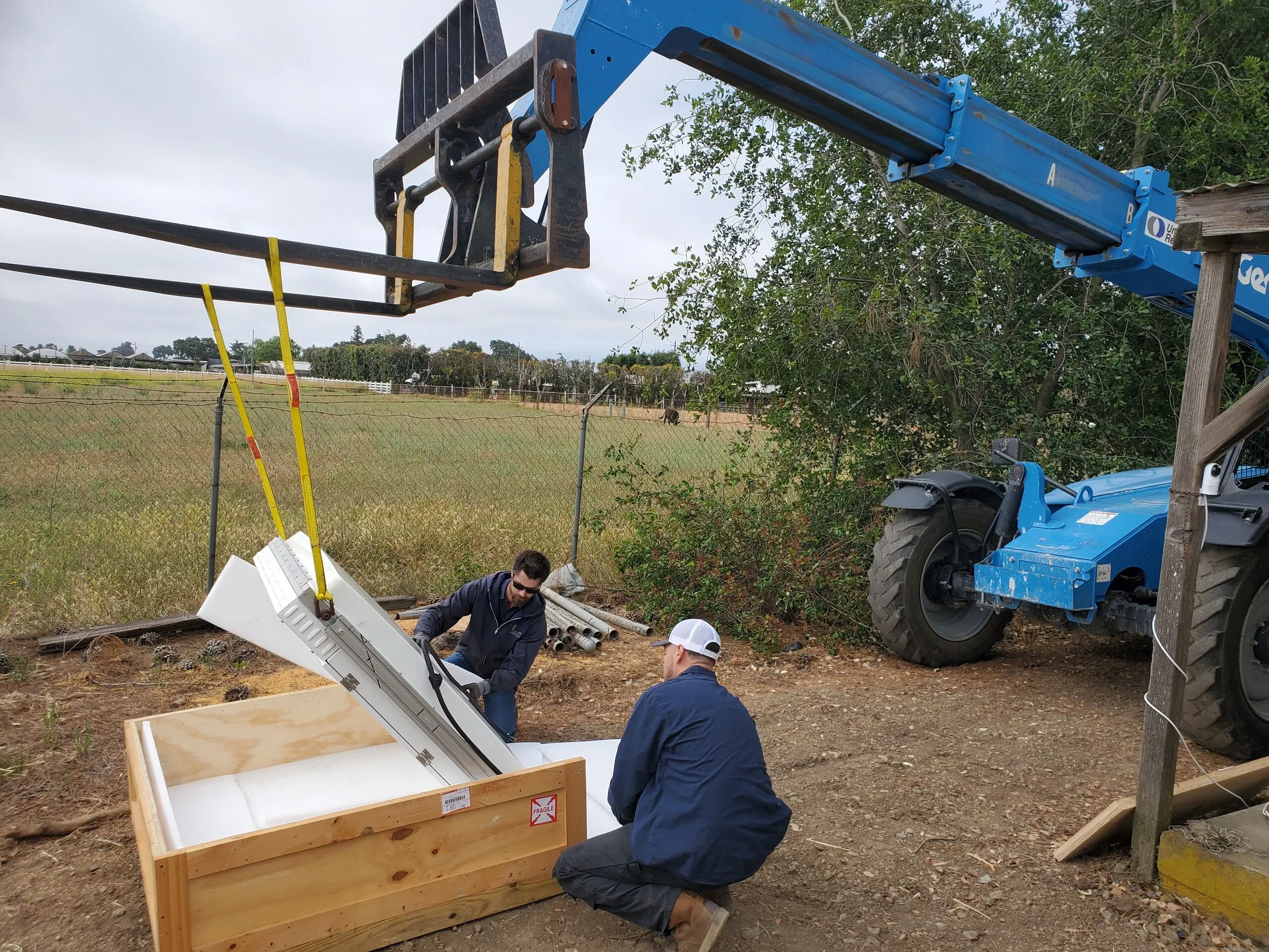
The first job was to get the radar out of the hangar and looking at the sky. Our team identified a site with a view of the airspace around the San Martin and Hollister airports and appropriate power hookups, and arranged a lease of the land. I procured a shipping container to house the electronics and serve as the radar’s mount, wrote the installation plan, and, with Collins’ sign-off, ran the physical installation of the radar.
In parallel, I built the data pipeline to stream live radar tracks from the radar into Reliable’s control station, where the radar tracks would feed into the traffic display and alerting and guidance system for the remote pilot. I also wrote a simulation capability so that the integration could be developed and tested without the live radar running.
Once the radar was installed and integrated, I worked with teams at NASA and Collins to develop flight test patterns to evaluate the performance of the radar for a data collection contract. The radar installation later supported the FAA contracted DAA testing which I write about in Flight Testing ACAS X for DAA Standards.
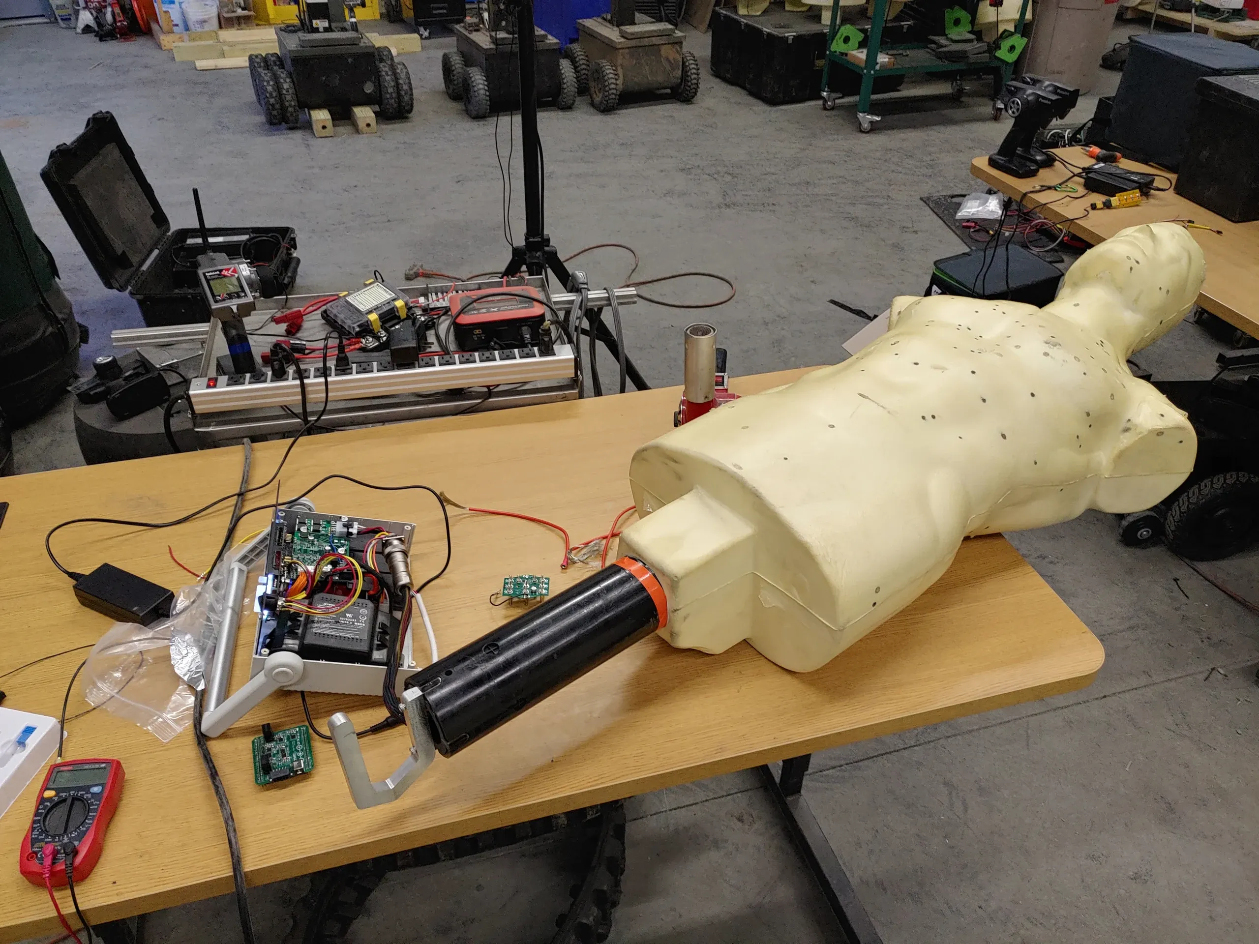
MVP Robotics builds HEKTR, a mobile robotic target used for live-fire training by military and law enforcement. Each robot carries a humanoid target which detects where it has been hit and reports the shot back to the trainee. The targets detect hits through thin metal foil embedded in the target, which closes a circuit when a bullet passes through. As a target takes more and more hits, the foil panels are worn away, and occasionally the damaged foil shorts two panels together, leaving the target unable to register hits.
I joined MVP Robotics as a Robotic Engineering Intern in the spring of 2021. At the time, there was no good way to measure how much life a target had left. In addition, the target foam molding process sometimes failed, causing new targets coming off of the production line to have a constant short between panels.
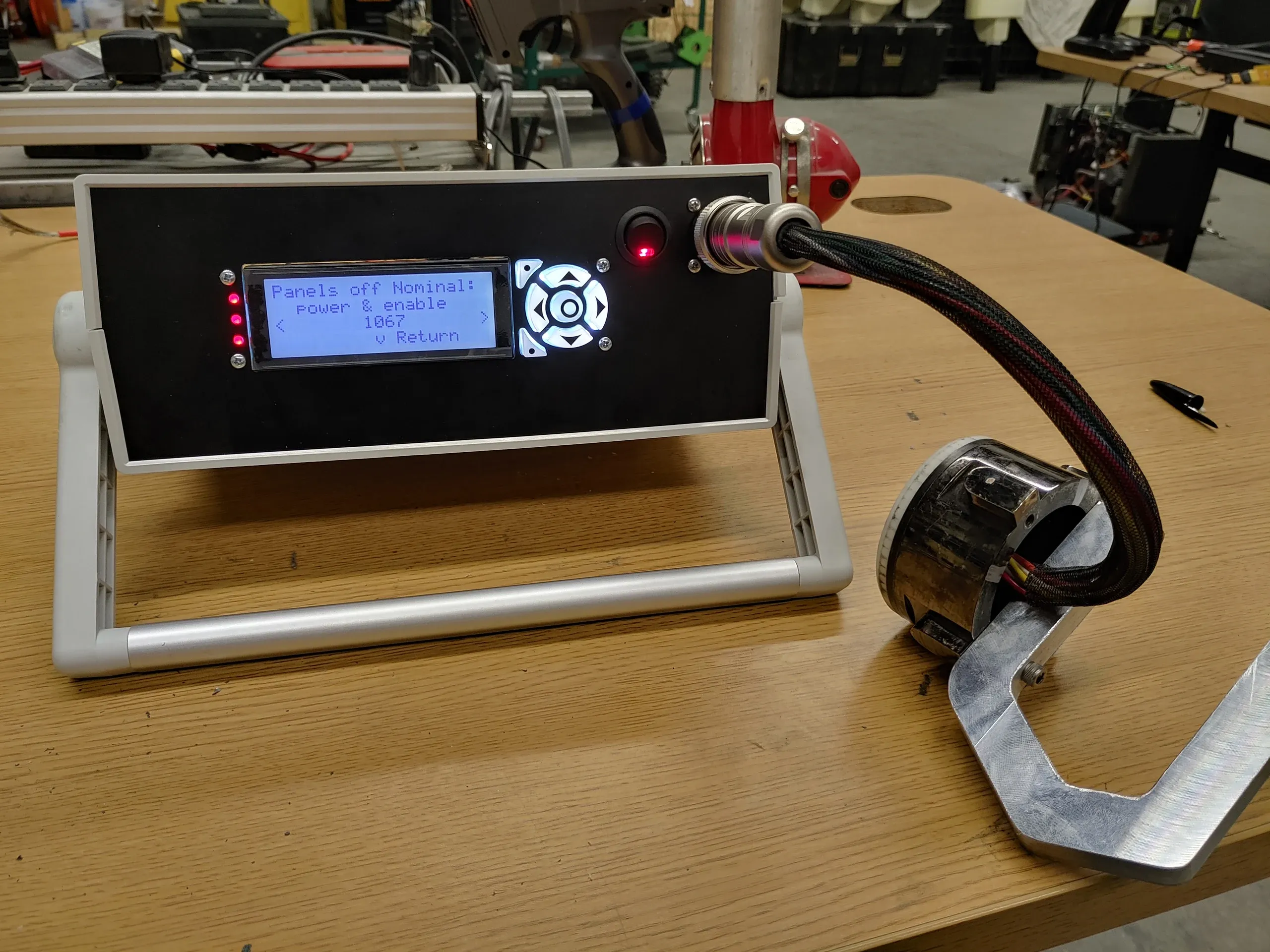
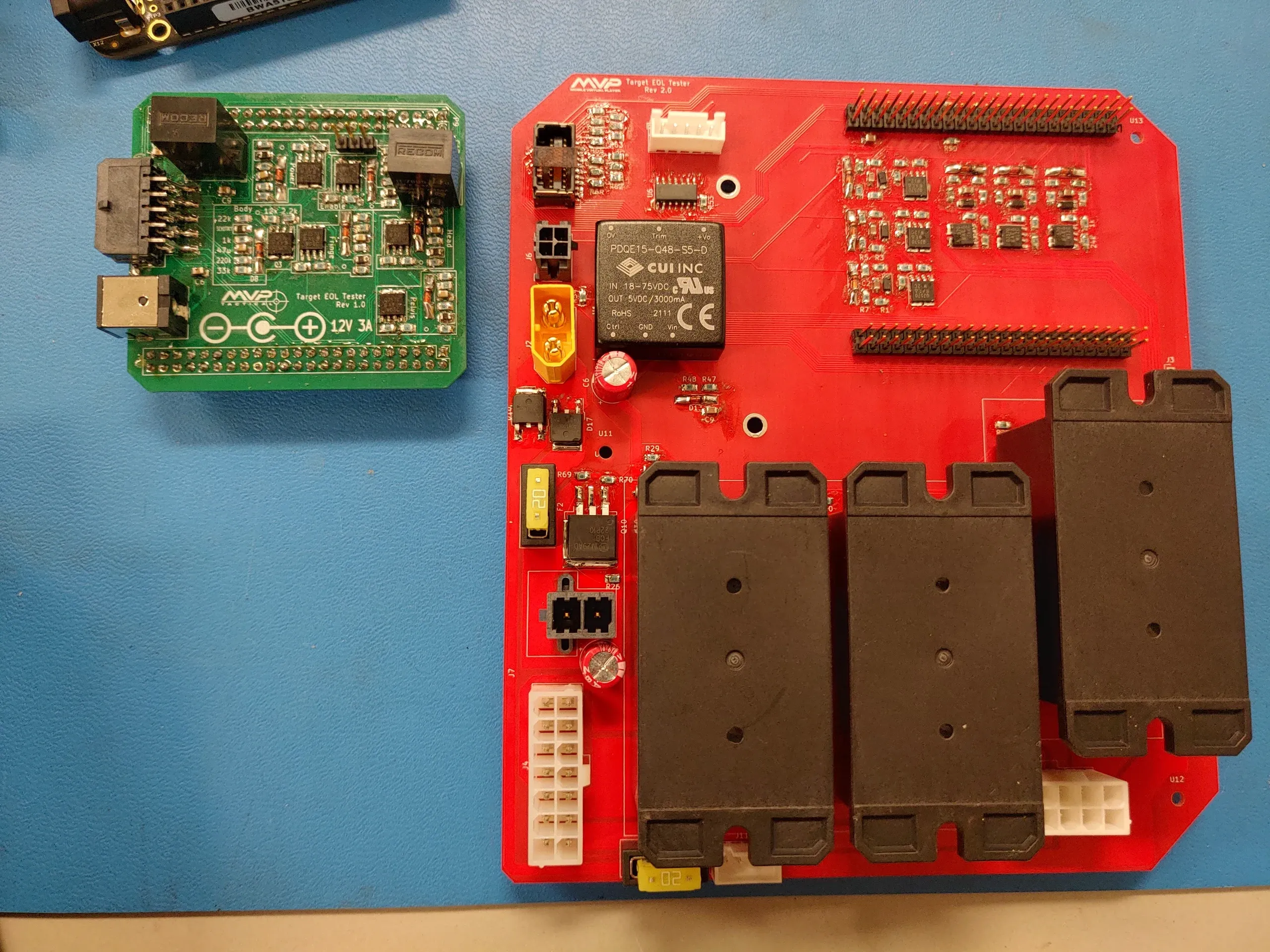
Over the course of the internship, I developed a standalone tester which plugs into a target through the same mount used on the robot, and serves as both the end of line test for new targets and a field test system for targets in use.
The project is broken into three main components: the measurement circuit, the hardware, and the software.
The measurement circuit is a novel impedance measurement system which evaluates the deterioration of each of the target’s hit zones by measuring the capacitance between the foil panels. New targets have intact foil panel areas and higher capacitance, while degraded targets have smaller foil panel areas and lower capacitance. The measurement circuitry can also identify shorts between foil panels.
The hardware is a set of custom PCBAs which I designed and assembled, comprising the impedance measurement system, a high power burnout system to clear unwanted foil shorts, LCD display, Beaglebone computer, and battery & charging circuitry. The design went through two board revisions before being packaged into a portable enclosure.
The software is an API covering all system functions, with two interfaces built on top of it: a physical LCD UI for use on the production line and in the field, and a web UI.

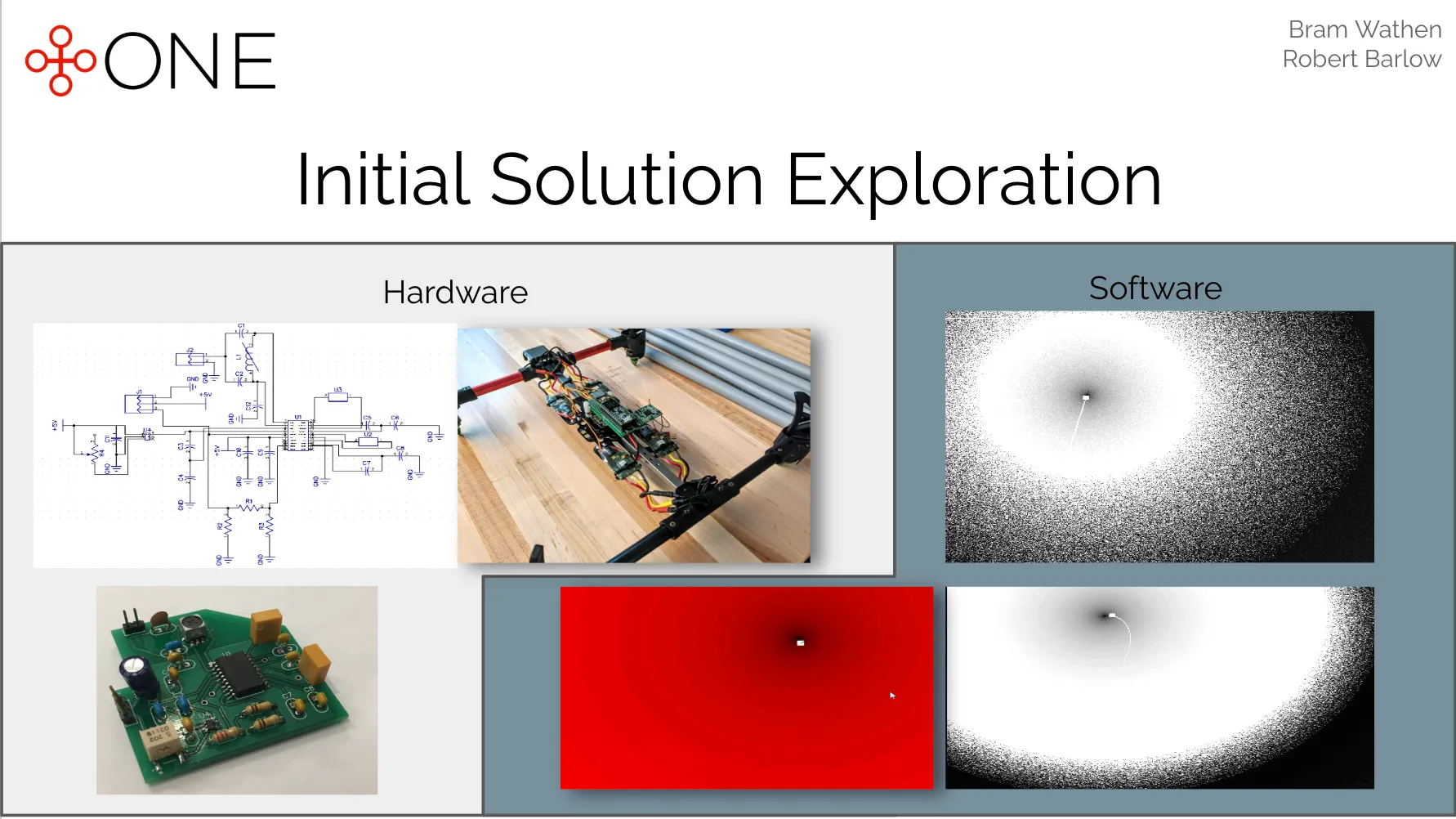
+One was an entrepreneurial venture to advance avalanche rescue technology.
As a Weissman Fellow and then as a part of Olin’s Entrepreneurial Engineering Capstone, I worked with my friend Bram Wathen to develop a solution to replace the outdated backcountry avalanche beacon used by backcountry travelers in avalanche terrain.
Our initial solution was a small deployable drone with radio-direction-finding circuitry to perform the beacon search on behalf of the rescuer. We developed two drones, a search algorithm, and a simulation engine.
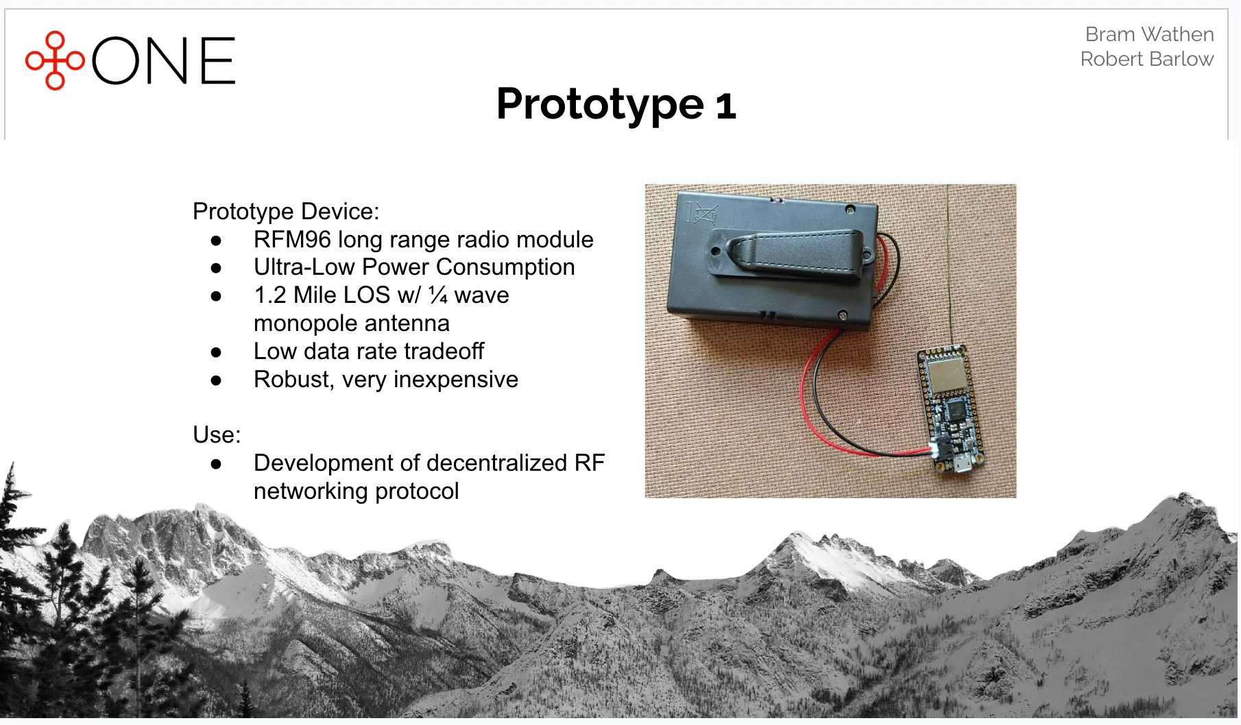
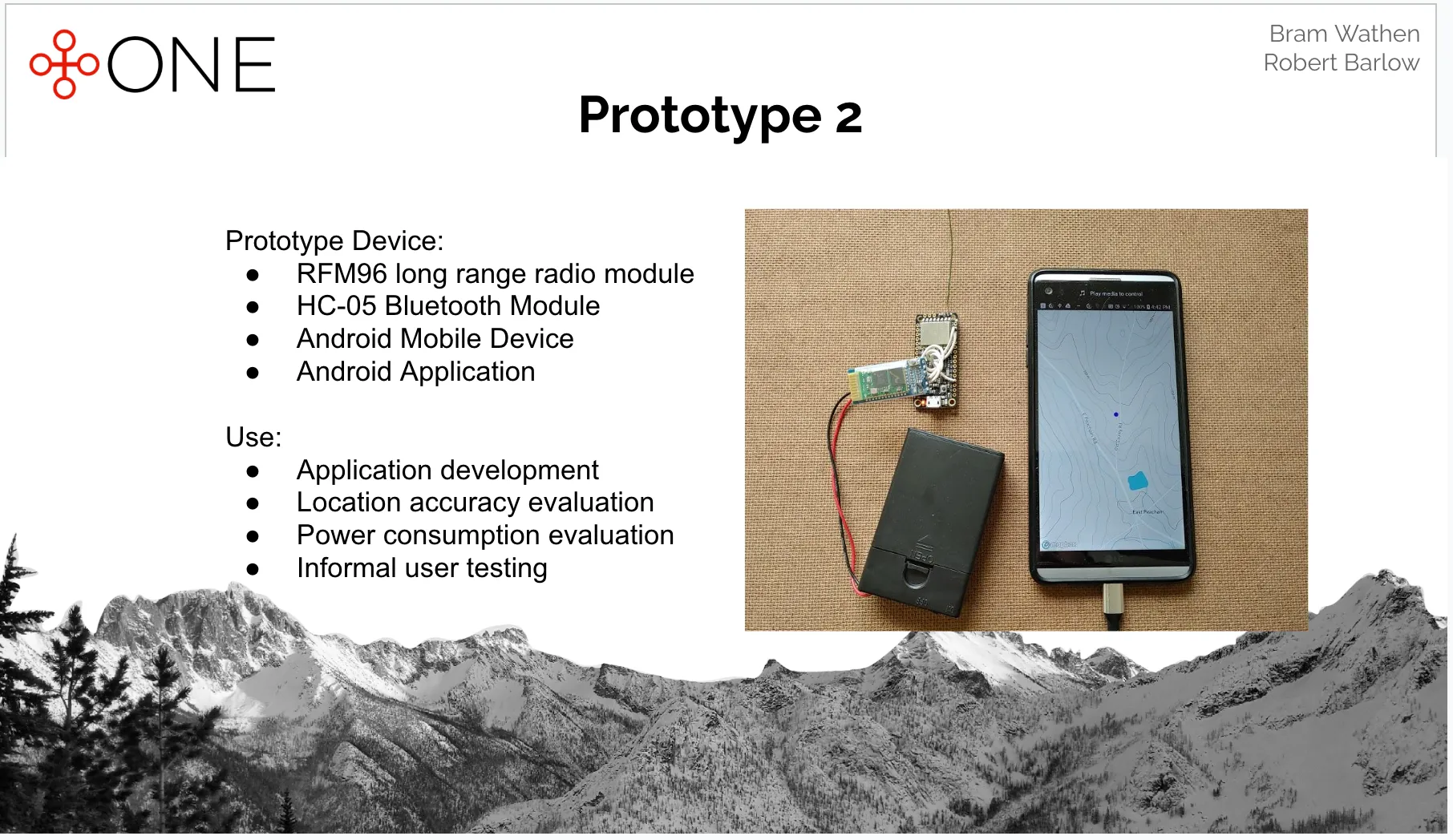
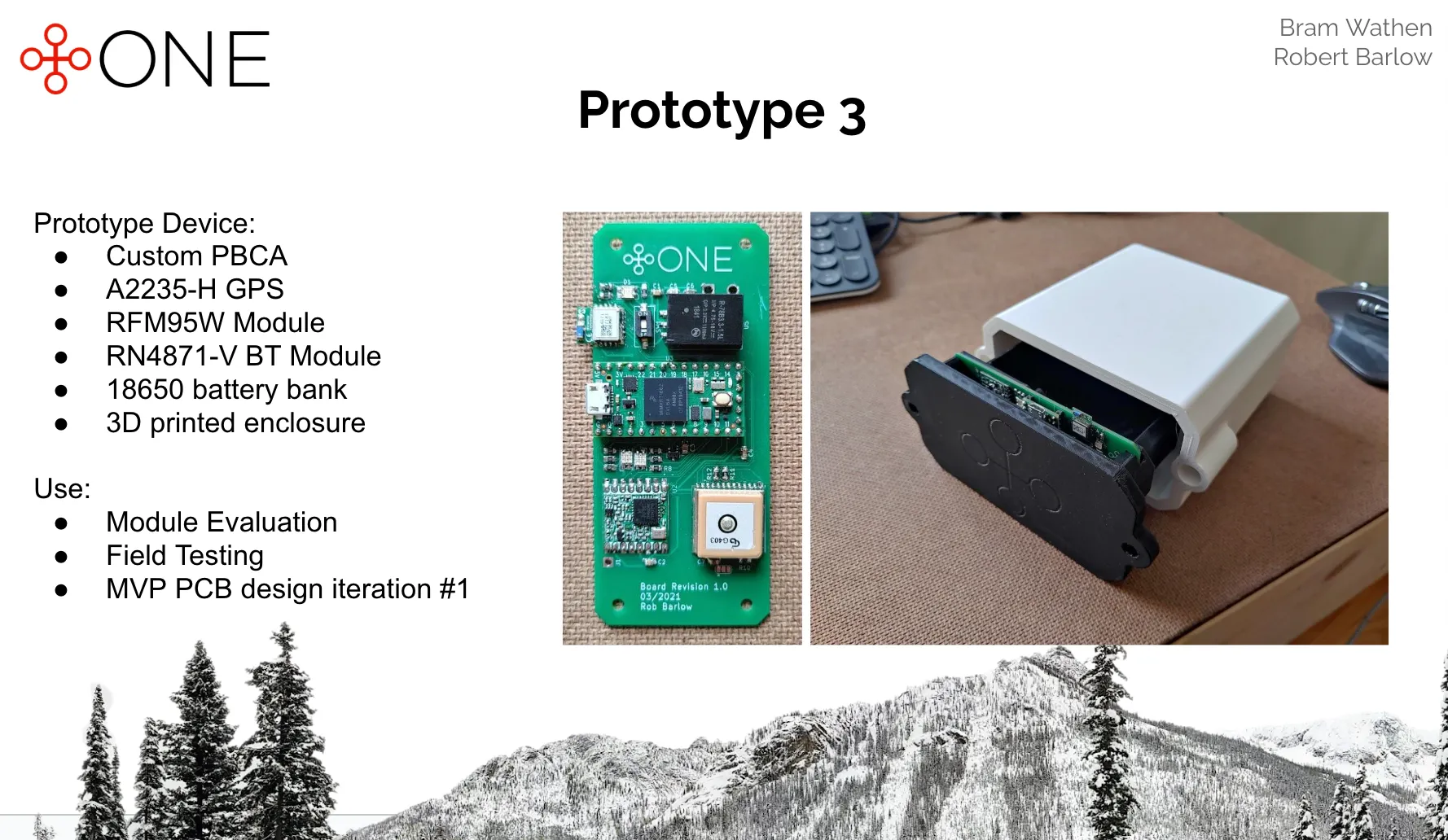
Next, we took a step back and ran a market analysis and 30+ backcountry user surveys. From here, we chose to pivot in a different direction. Our next solution was a mobile device “backpack”, which housed a high accuracy GPS, IMU, and LoRa radio transceiver. This device would form a mesh network across all units carried by each member of a group for live position sharing, using the mobile device for display. In the event of an avalanche burial, the position of the victim could be used to find them directly. We ran this solution through three prototypes, spanning custom PCBA design, embedded systems, and the full software search/mapping stack. Field testing showed 2.5x faster discovery time and 60% less distance traveled compared against a backcountry avalanche beacon.

Zipline flies autonomous fixed-wing aircraft for last-mile logistics. Like any uncrewed aircraft, they need a way to detect and avoid other traffic. One of Zipline’s approaches is to listen for it: an array of microphones spread along the wings picks up the sound of nearby aircraft, which is then used to localize the intruding traffic. I left Olin College for a year to join Zipline as a mechanical engineering intern, where I primarily worked on the hardware which carries that microphone array, taking it from hacked-up prototypes to a production-ready design.
Our first acoustic sensing wings were every bit a hack. We cut into production wings by hand with a Dremel, bonded 3D printed mounts to the skins for the microphone probes and their PCBAs, and ran a Raspberry Pi in a printed mount as the compute. To find out how the microphones fared in rain and fog without waiting on California weather, a teammate and I built a remote control aircraft to carry the wings, for which I built the flight electronics and an embedded controller to pass telemetry between the servos, ESC, and receiver.
Modifying wings by hand wasn’t going to work for more than a few aircraft, so we designed the next generation with manufacturing and maintenance in mind. We developed a blind-mate interface to make the microphone probes field-swappable and frangible, so that a rough landing would only damage the probe and not the whole wing. I designed the mounts inside of the wing, then developed a second version after drop testing showed the first delaminating from the wing skin. I built five full sets of these wings myself, which went into service at Zipline’s test sites in the US and in Rwanda.
The final generation replaced the Raspberry Pi with a more powerful compute module, which required 15 W of thermal dissipation and a much more protected operating environment. I owned the design of the assembly which replaced the aircraft’s centerwing cover. Working closely with the electrical engineer on the PCBA, I designed its thermal solution and enclosure. After prototyping and experimentally verifying the thermal solution and weatherproofing, I finished by setting up the assembly for volume manufacturing. I worked through vendor sourcing, developed assembly fixturing, set up the production line, and wrote process instructions. The new wing made its first flight in the last week of my internship.
Before joining the DAA team, I worked on test engineering projects, including:
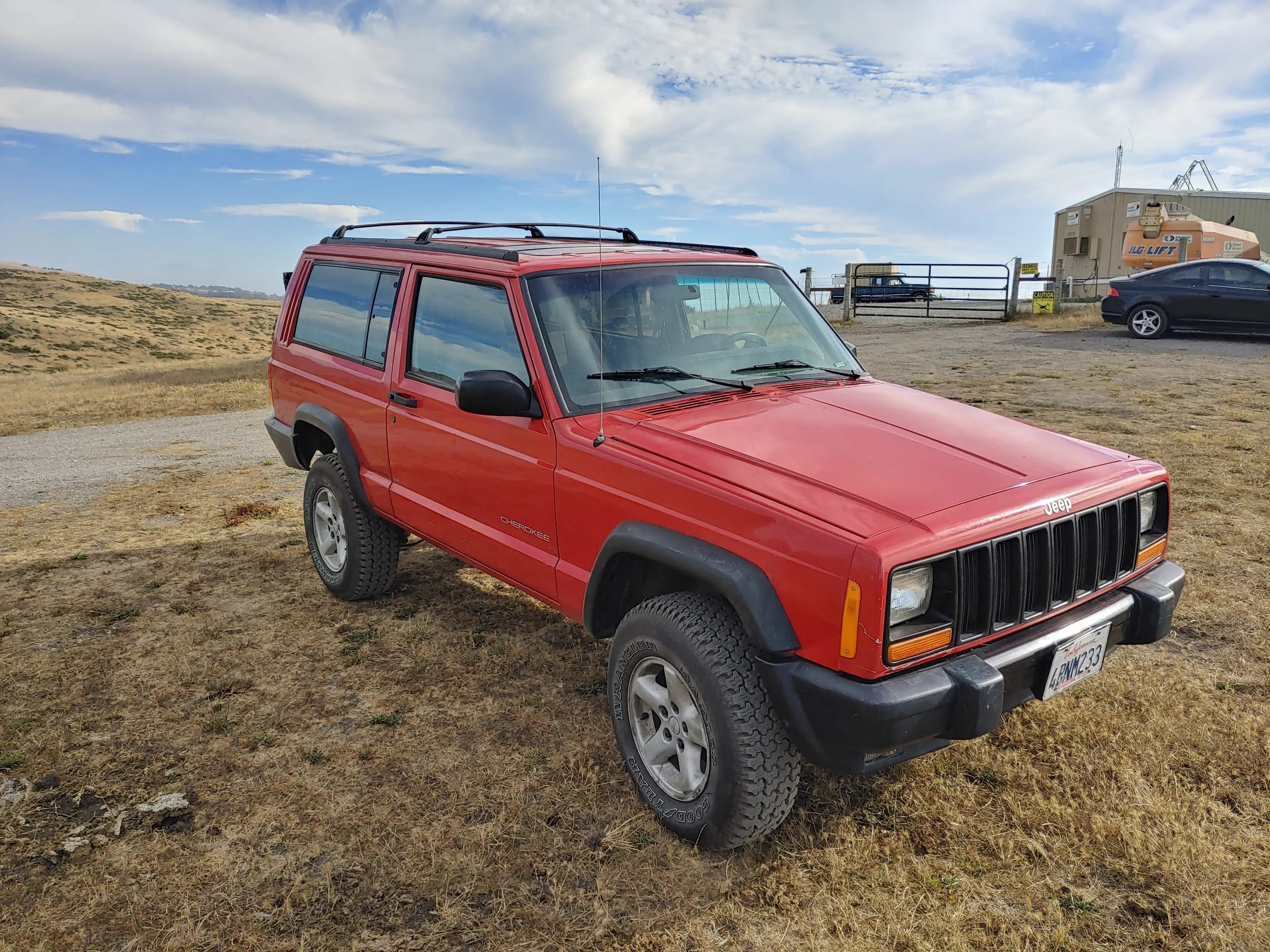
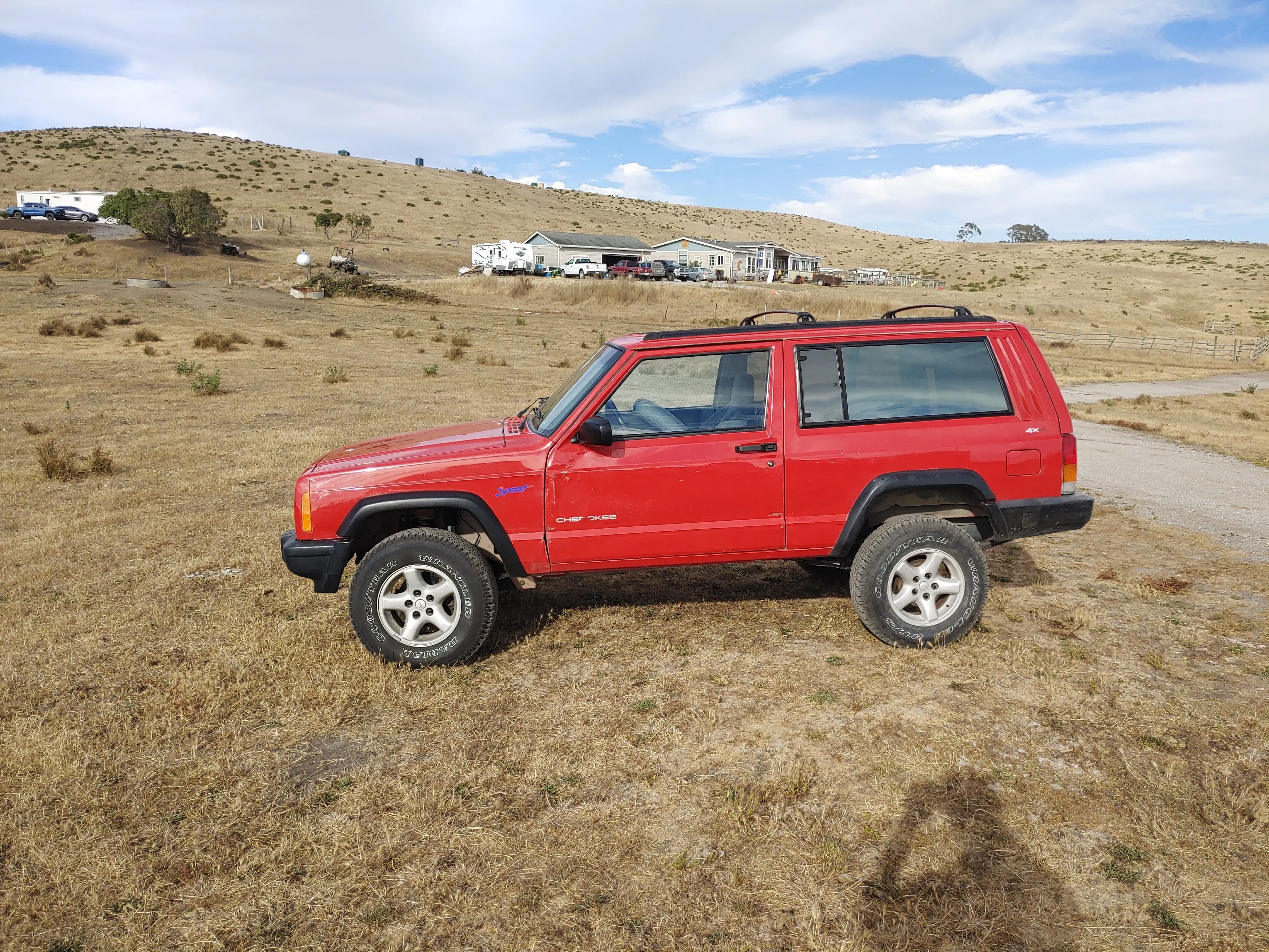
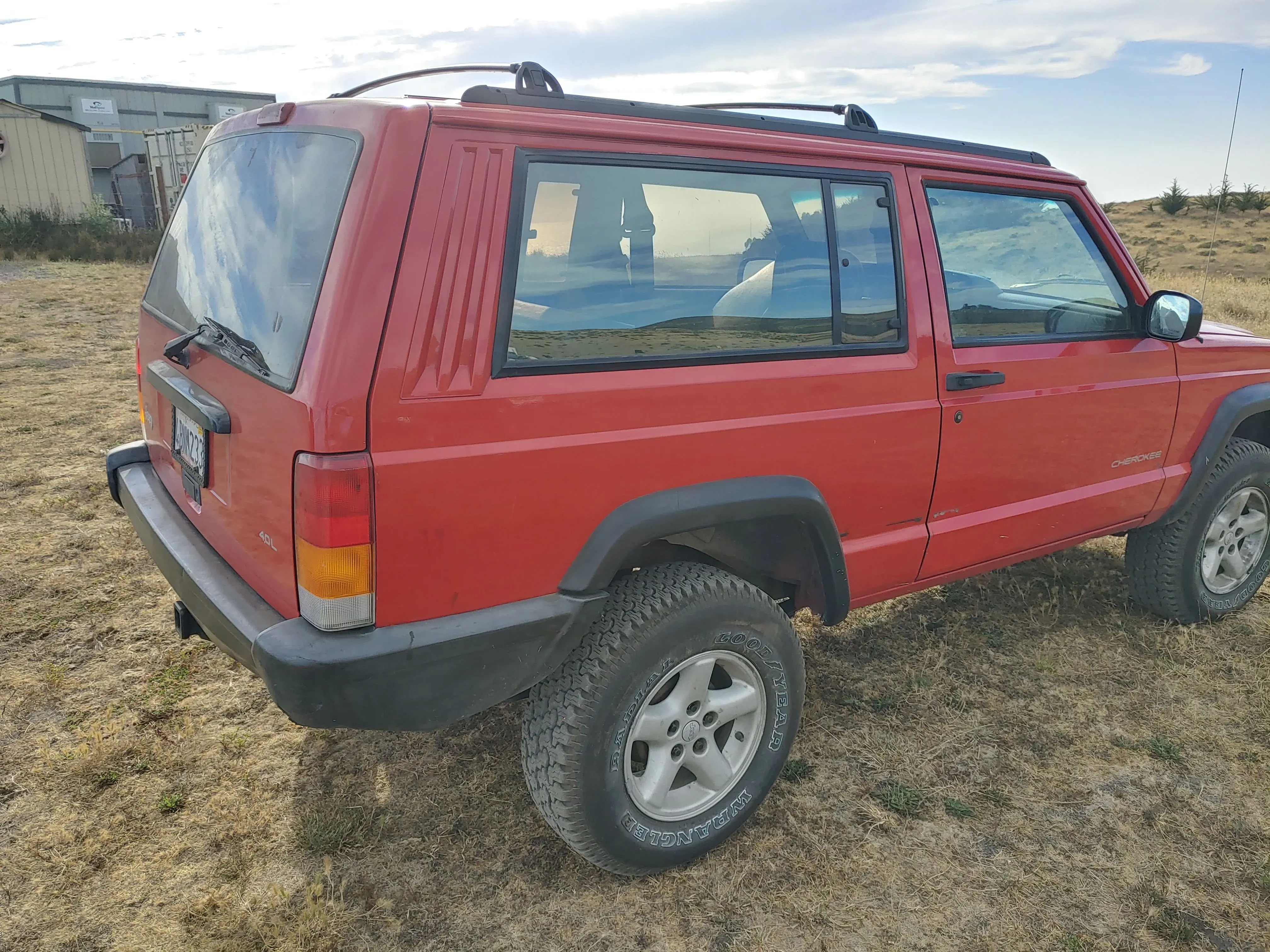
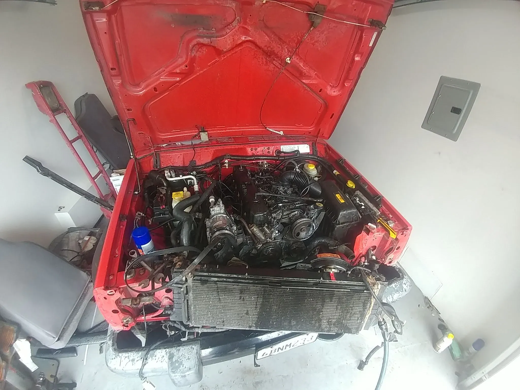
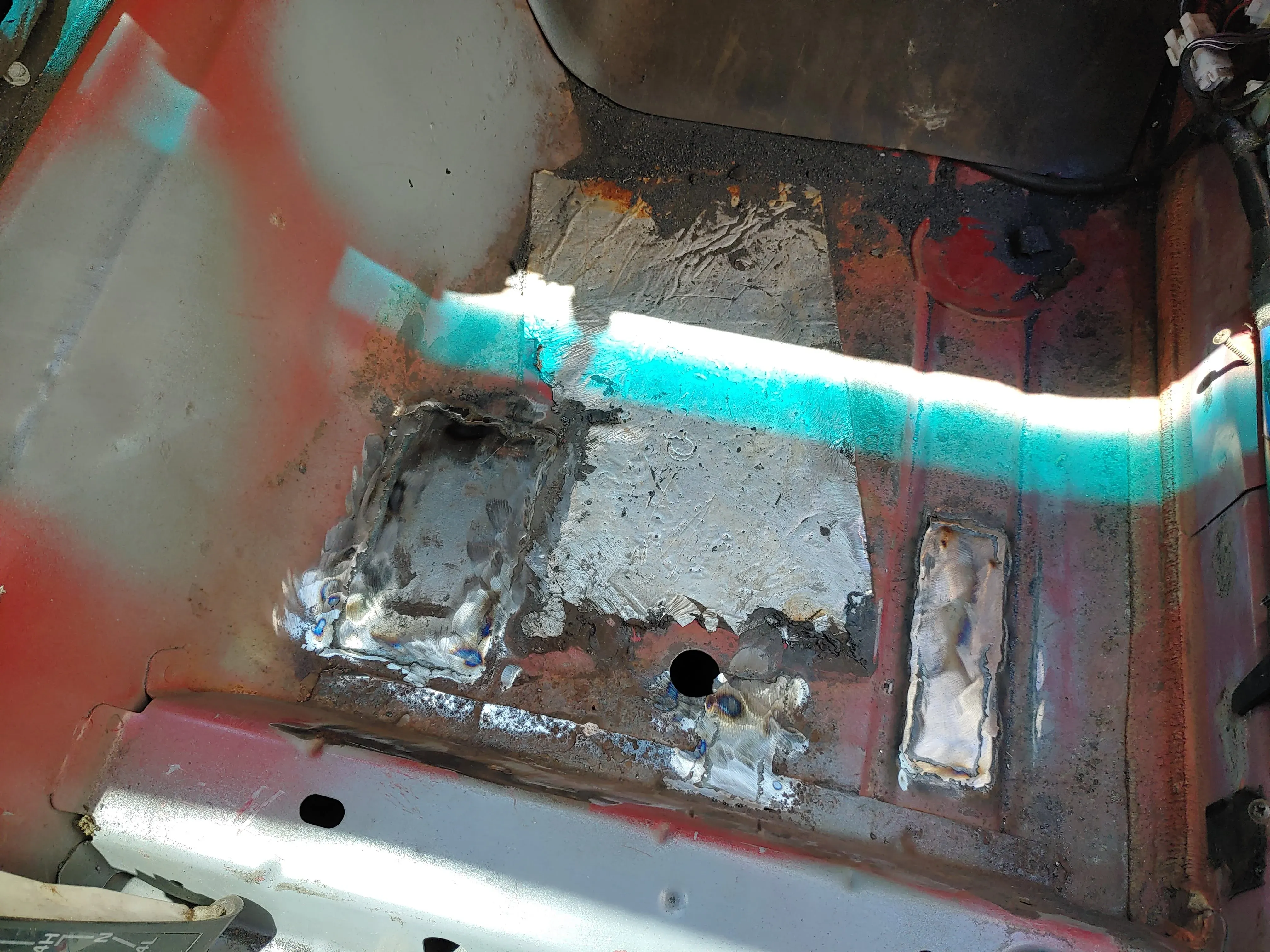
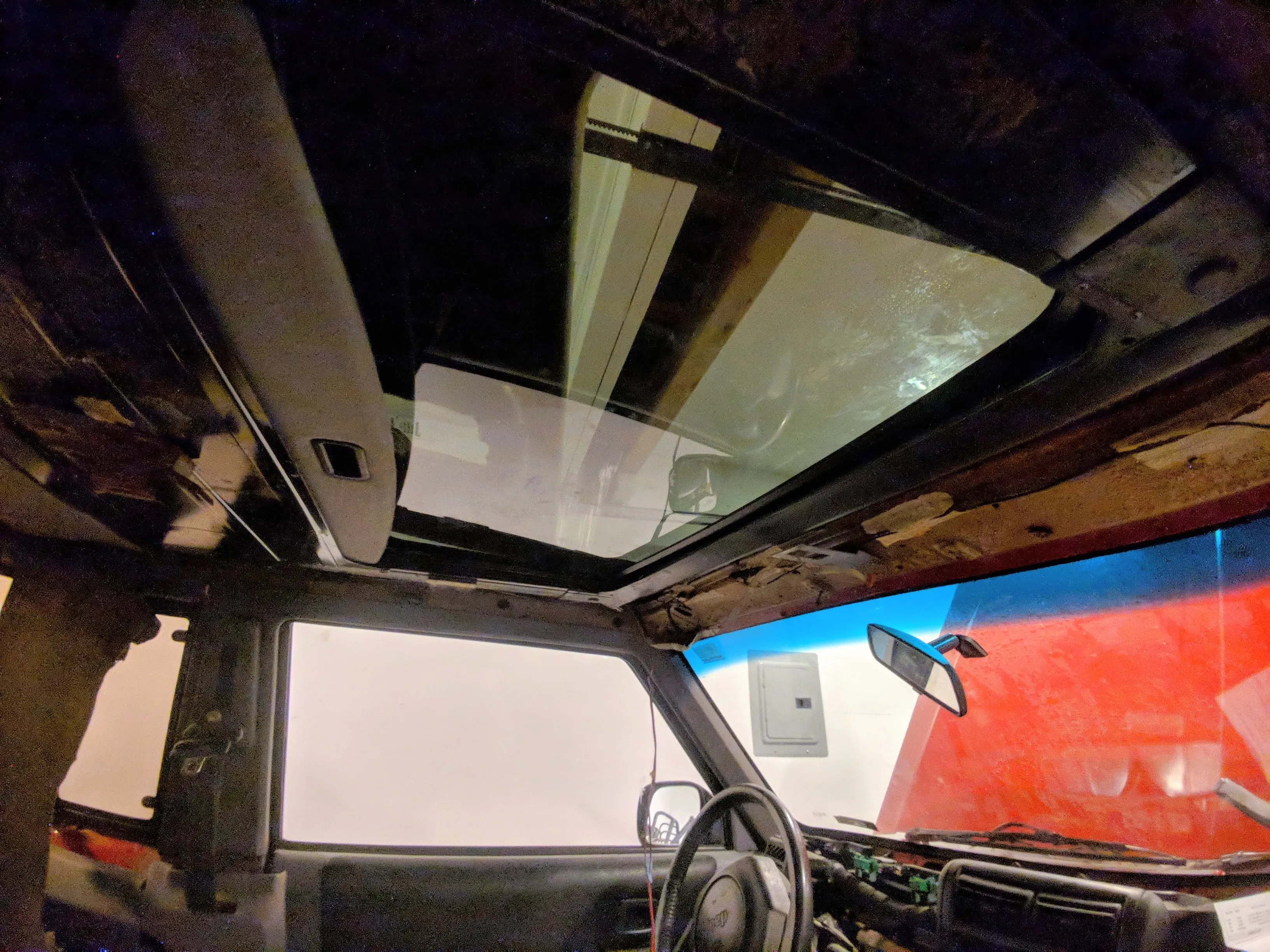
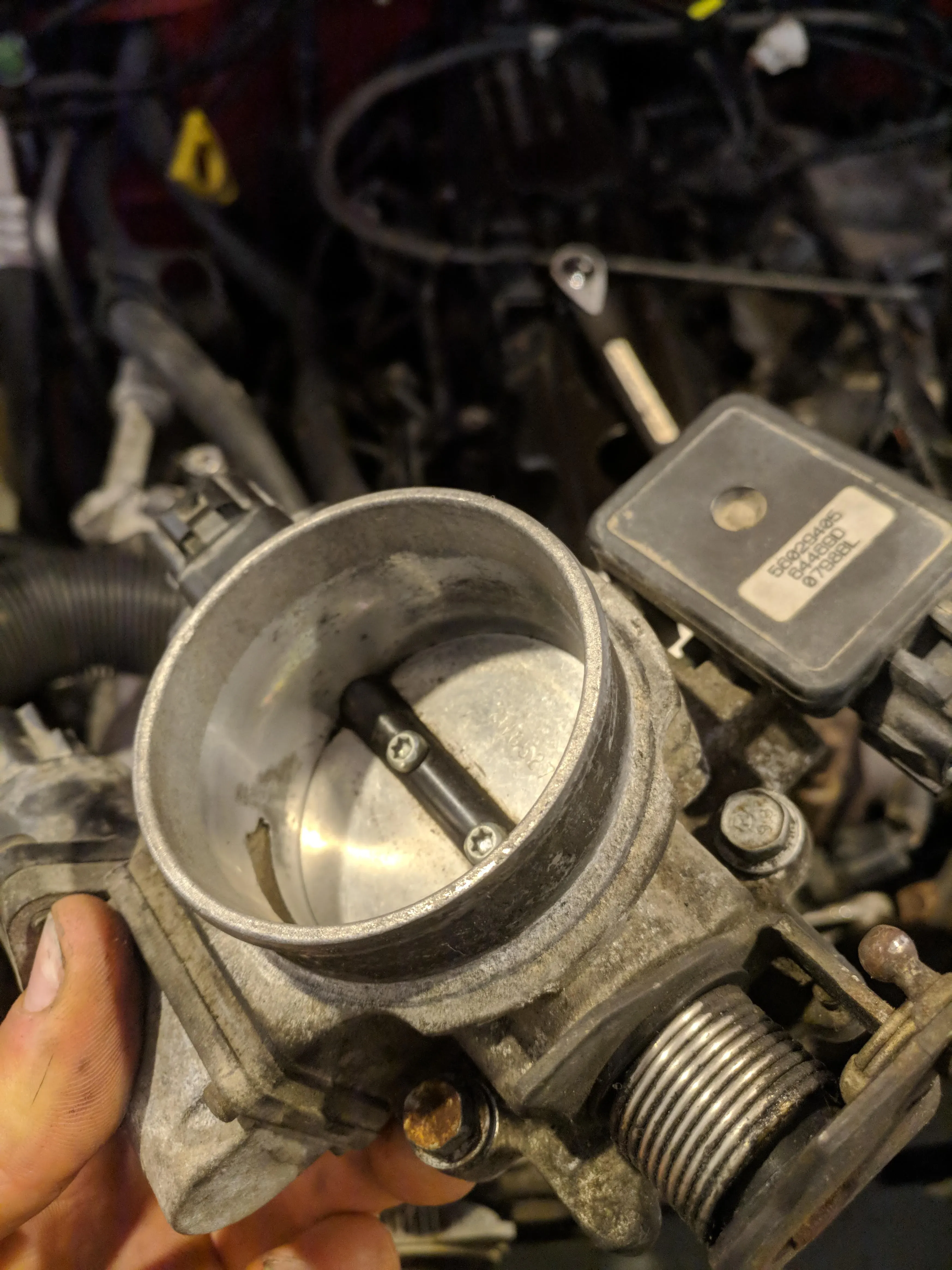
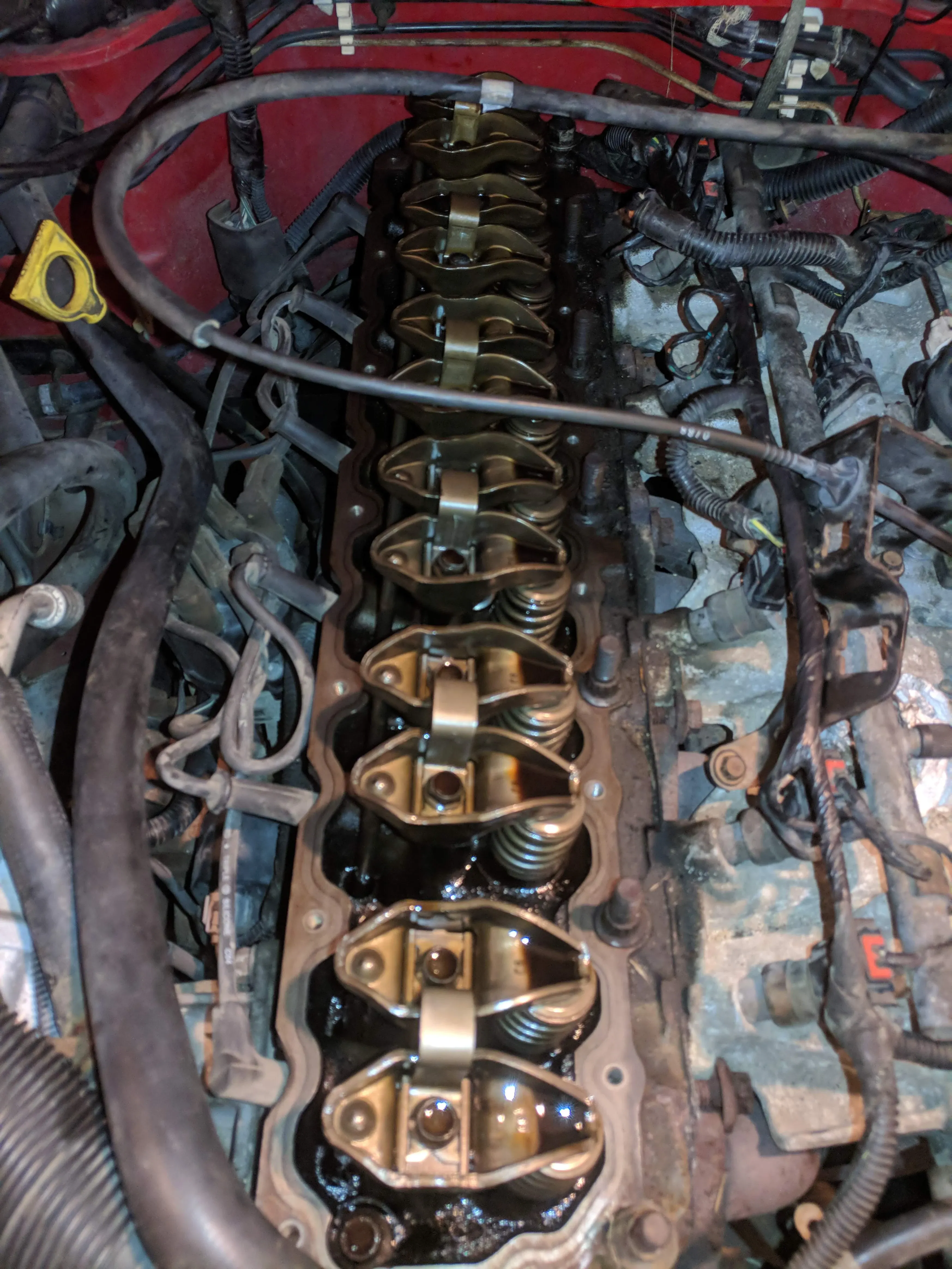
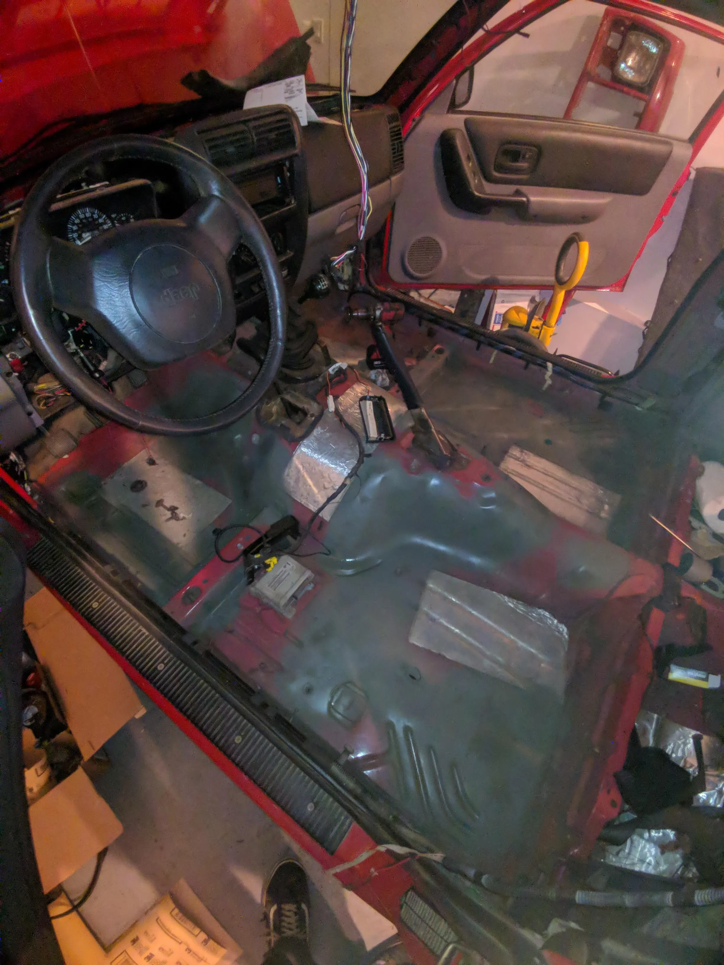
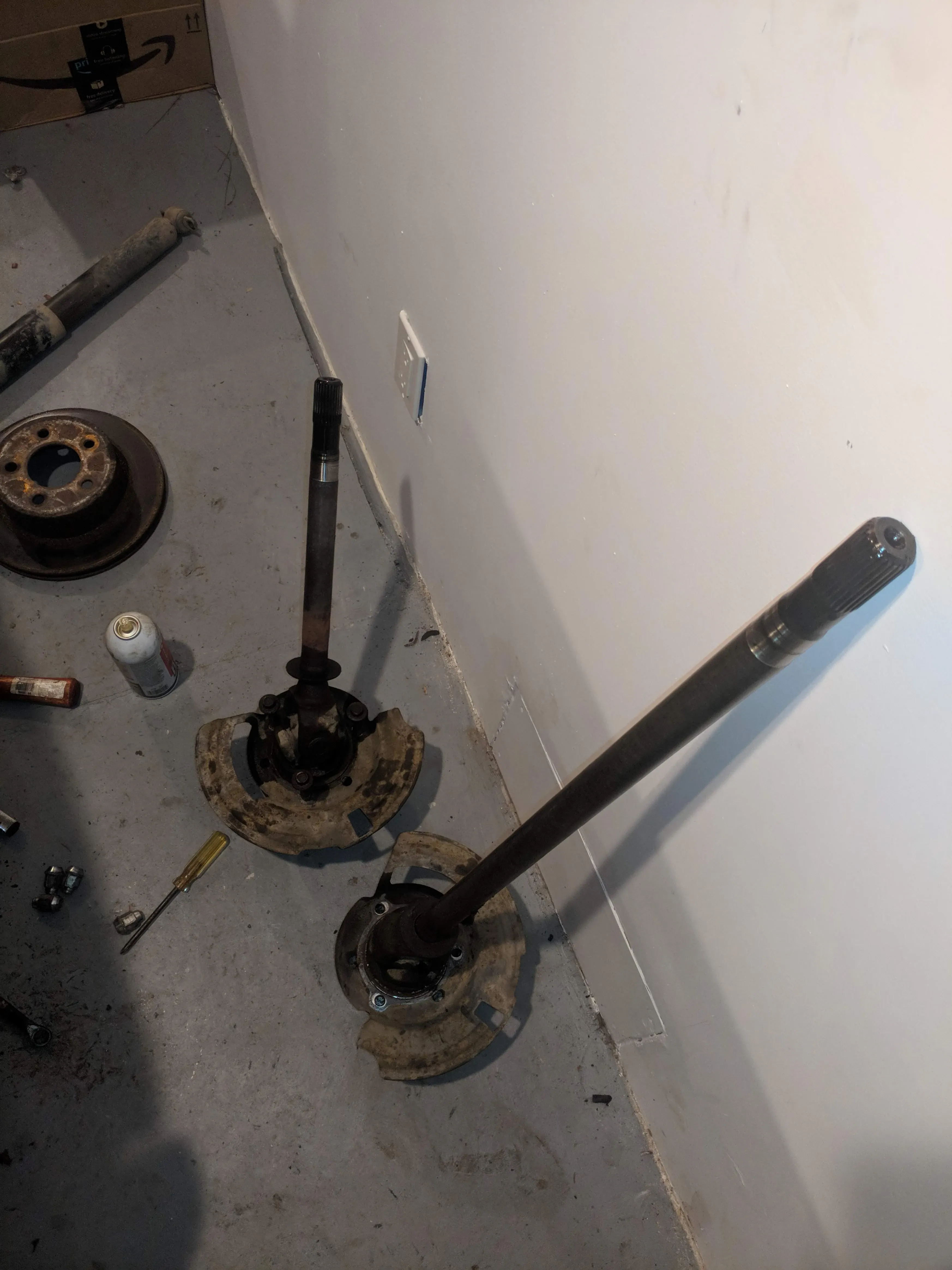
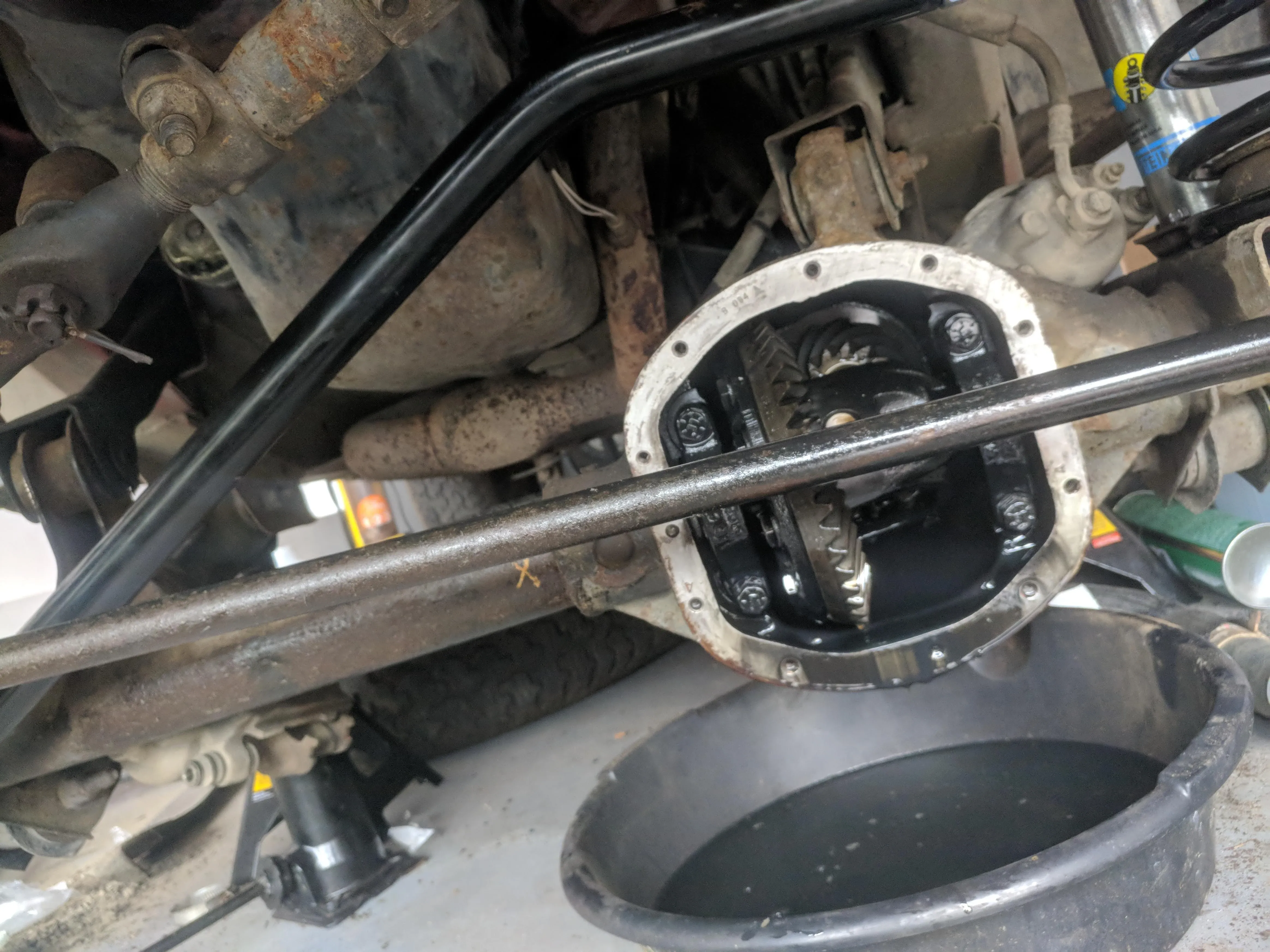
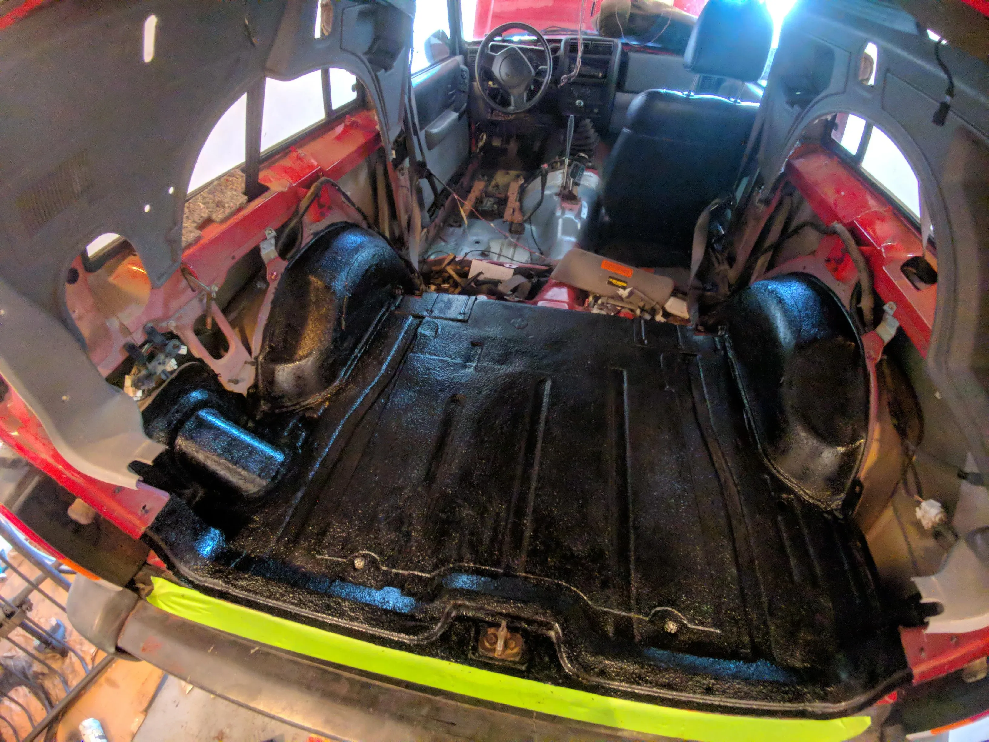
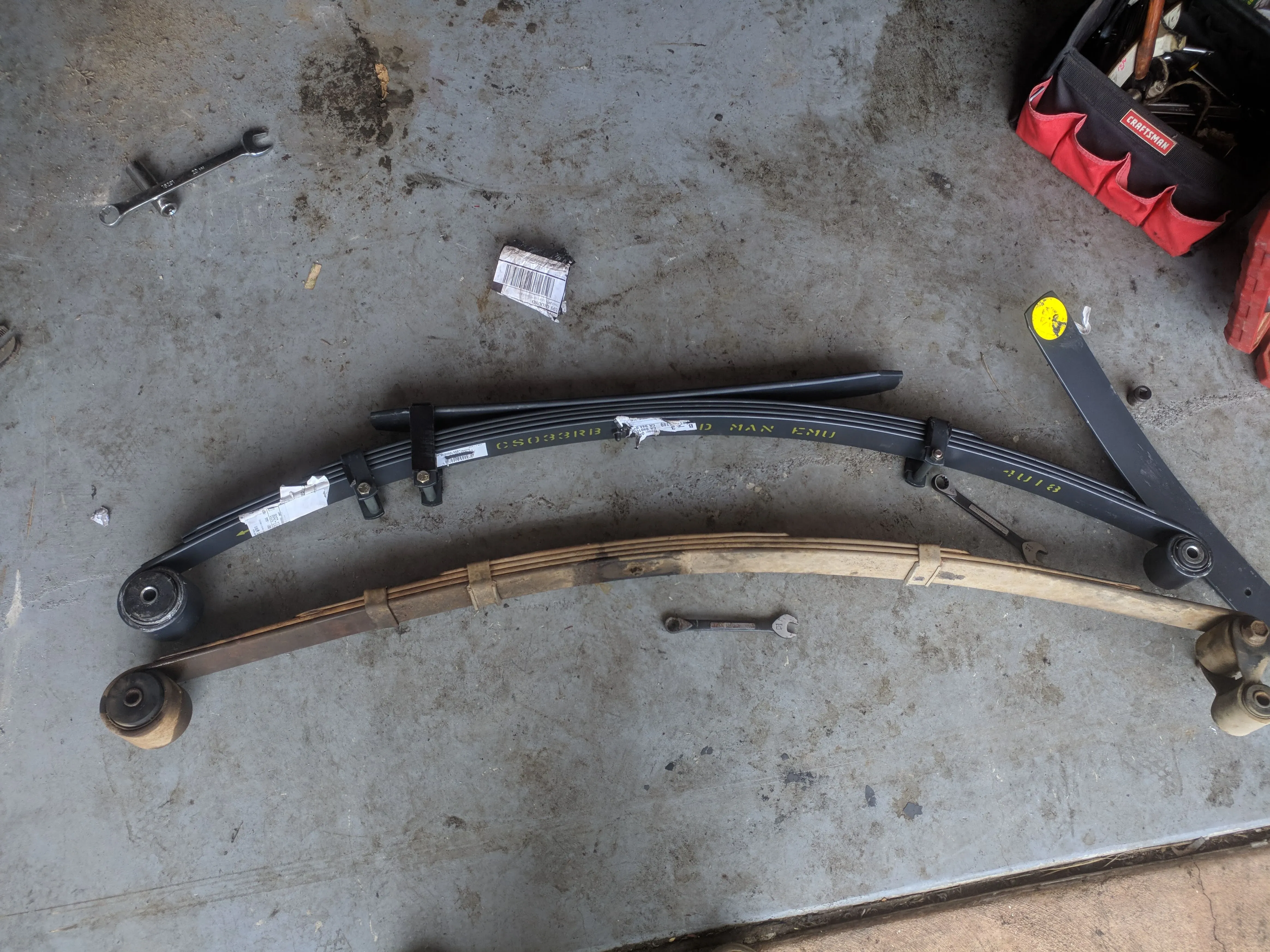
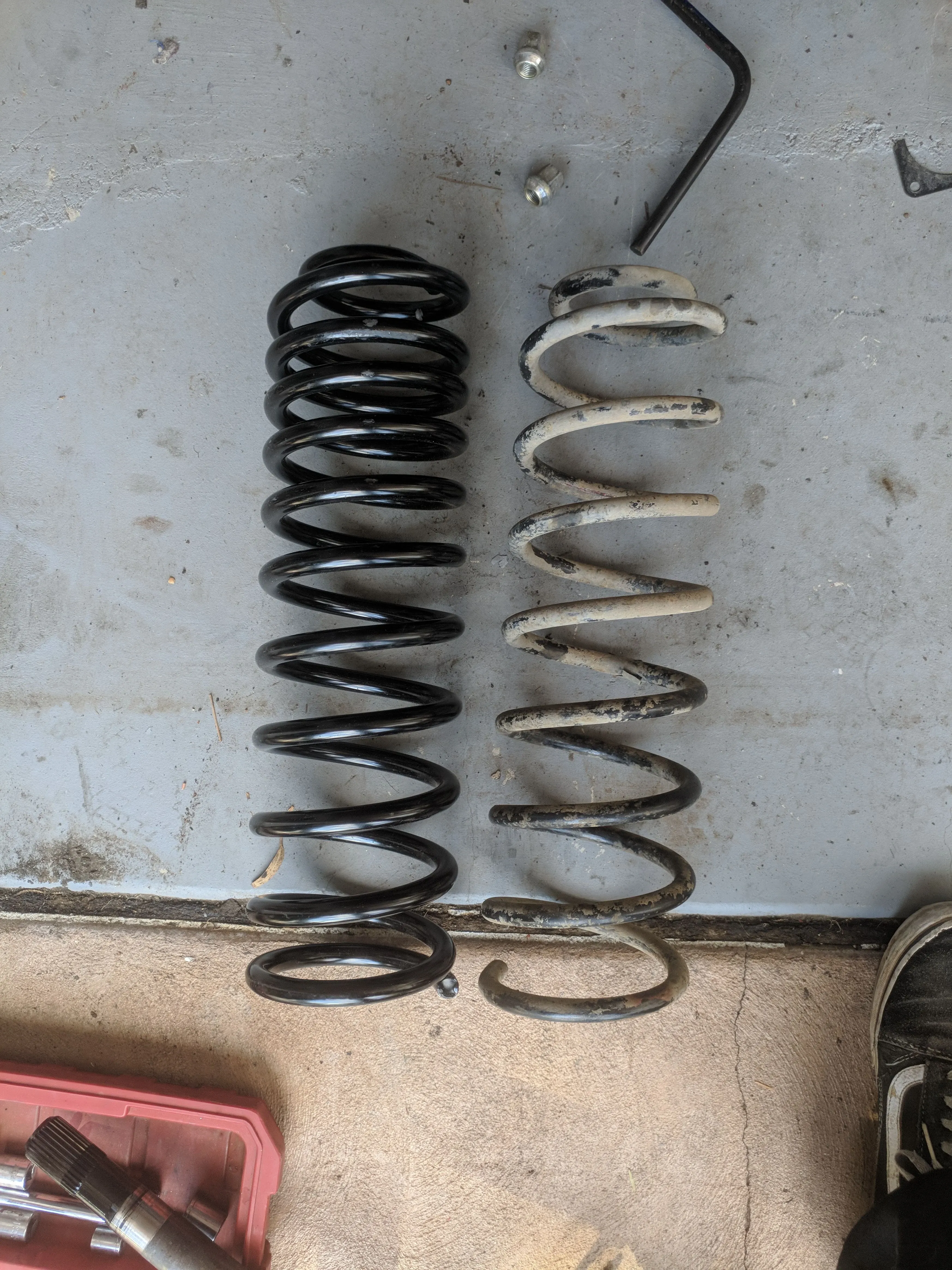
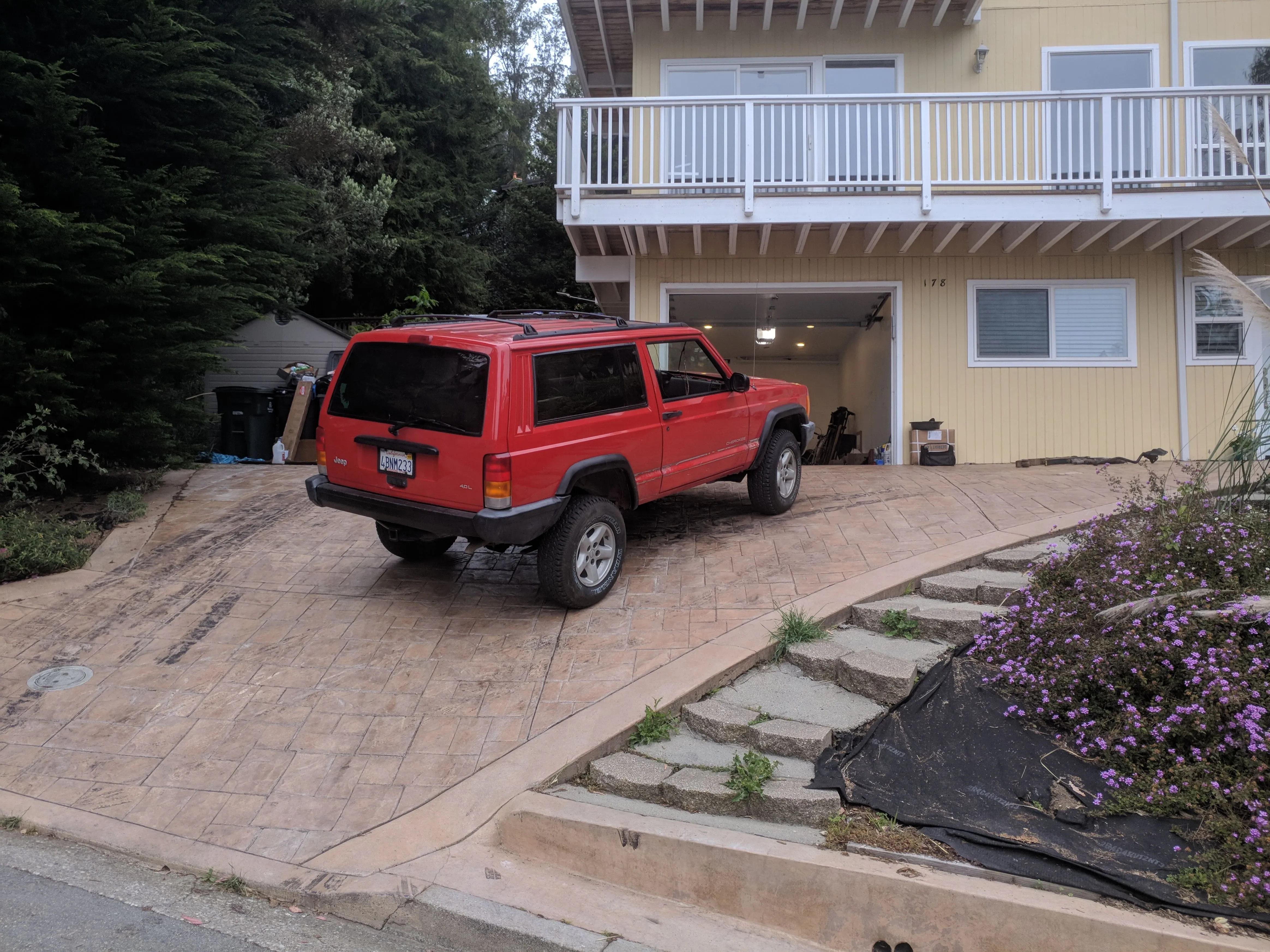
I picked up a 2-door 4x4 Jeep Cherokee XJ off Craigslist, which kicked off a four-month saga of late nights and weekends in a tiny garage stripping it down and pulling it back together. I went through nearly every system: cooling, oil, fuel, front and rear drivetrain, a full Bilstein/OME suspension refresh, steering, rust repair, and a re-upholstered interior.
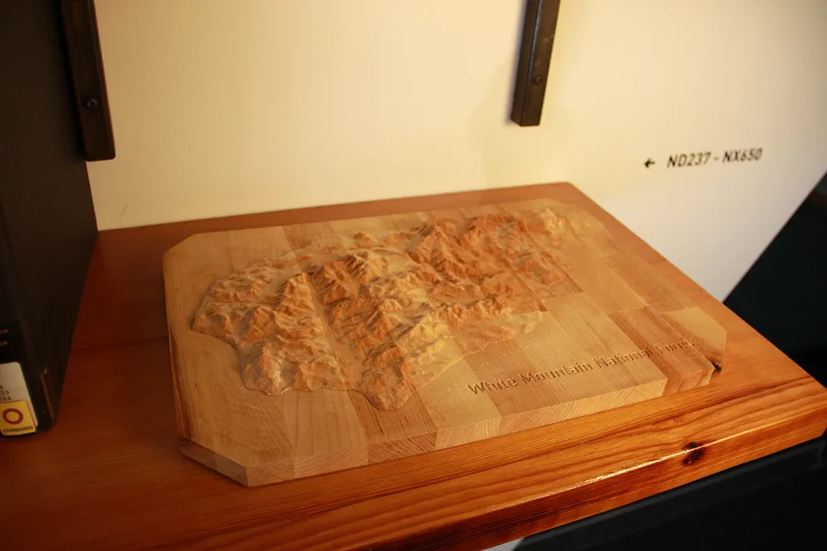
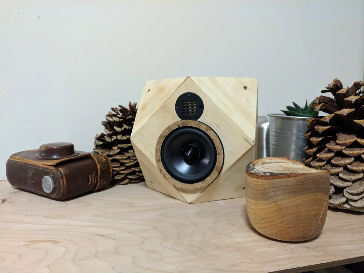
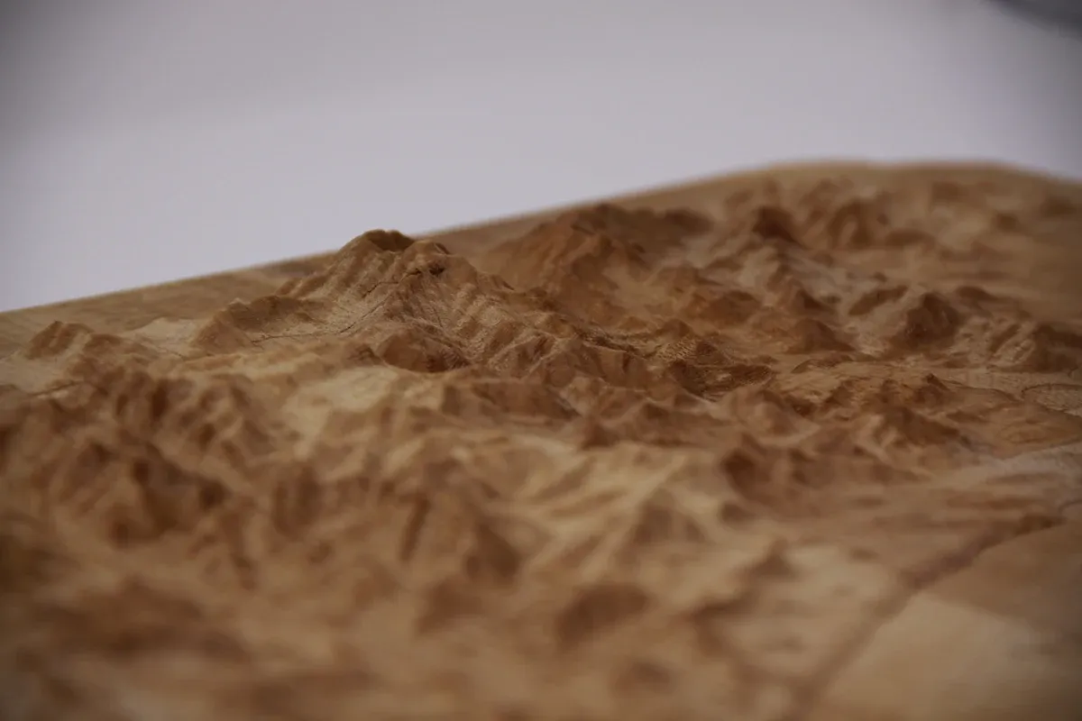
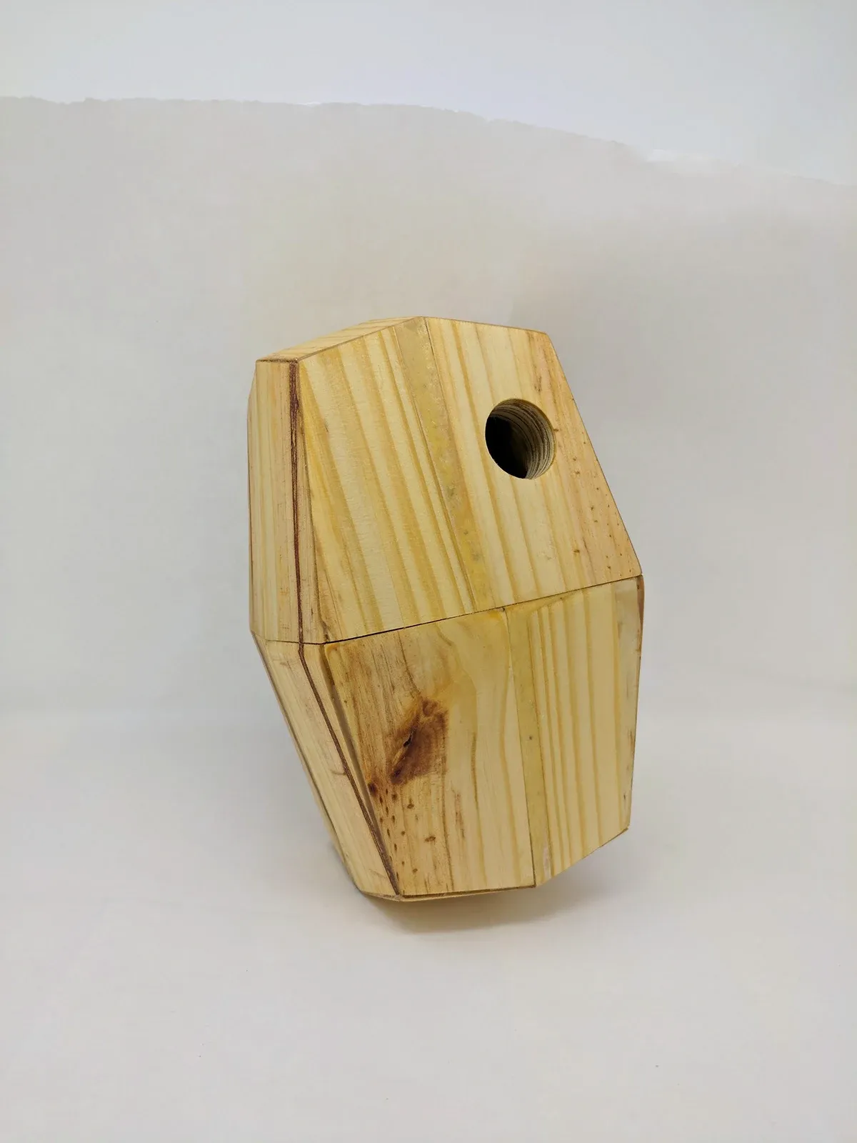
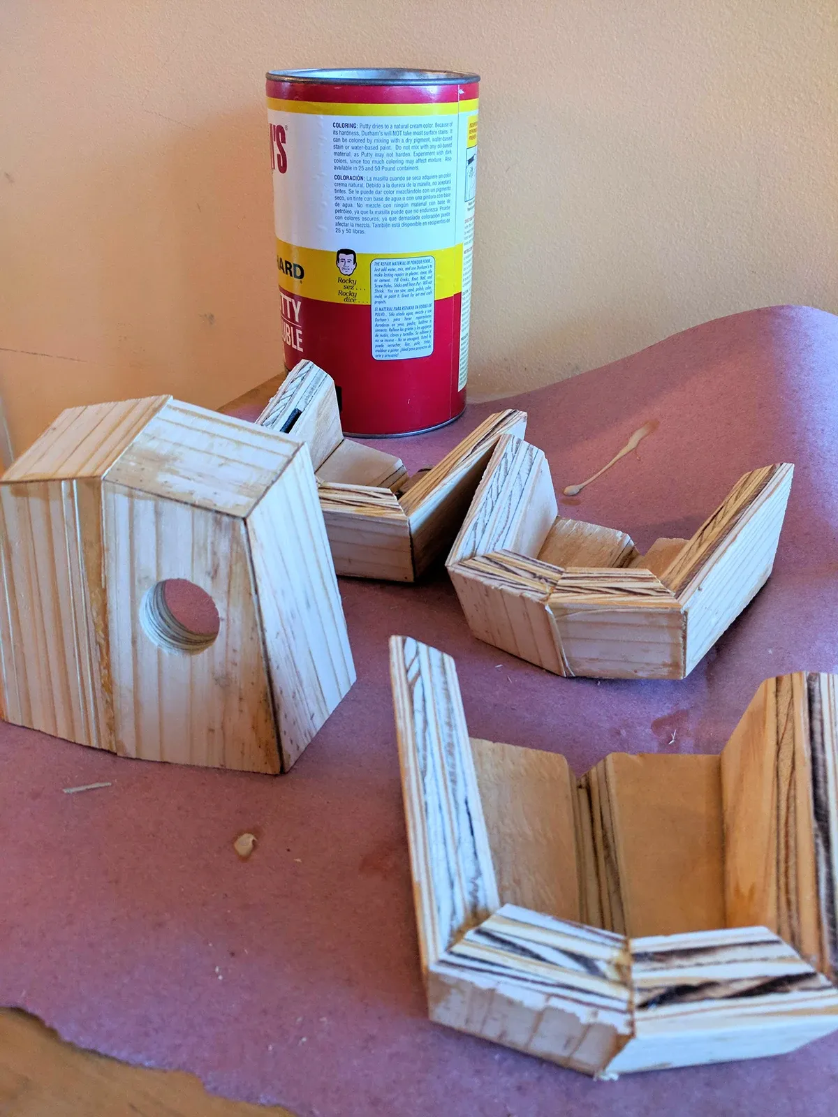
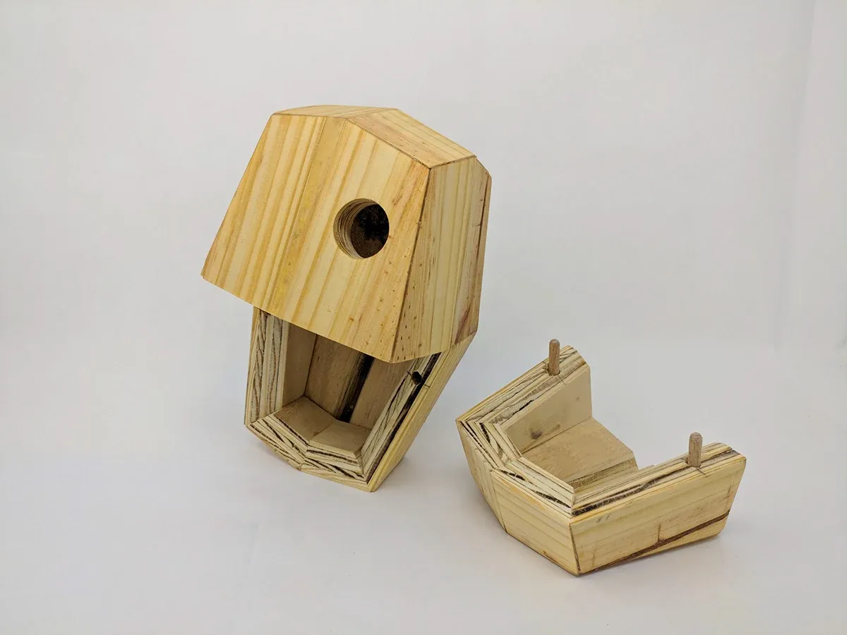
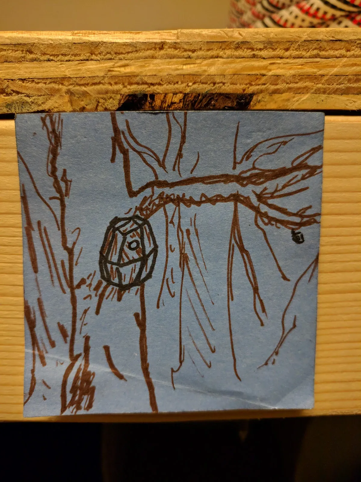
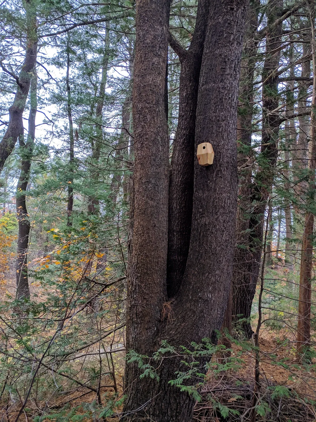
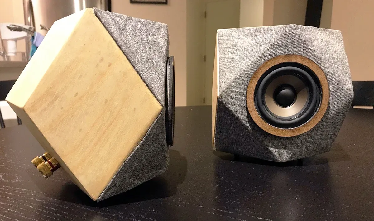
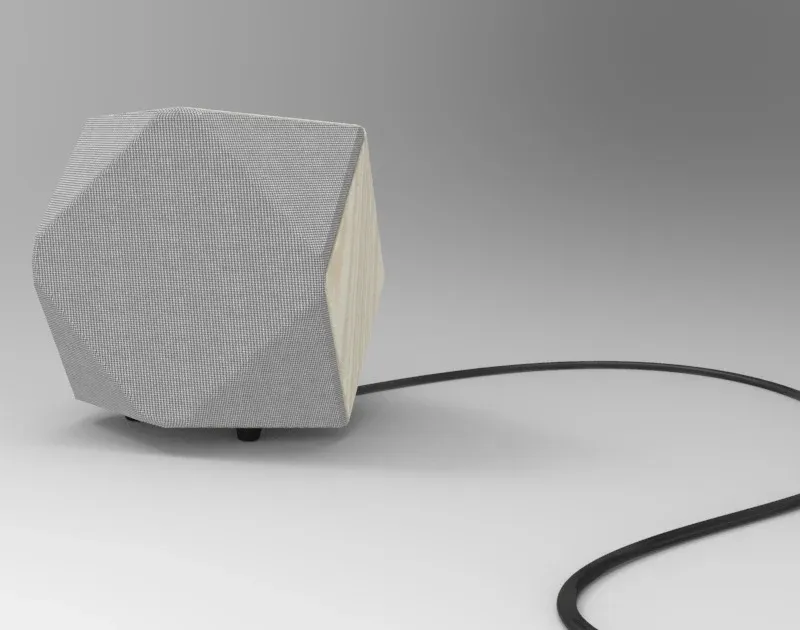
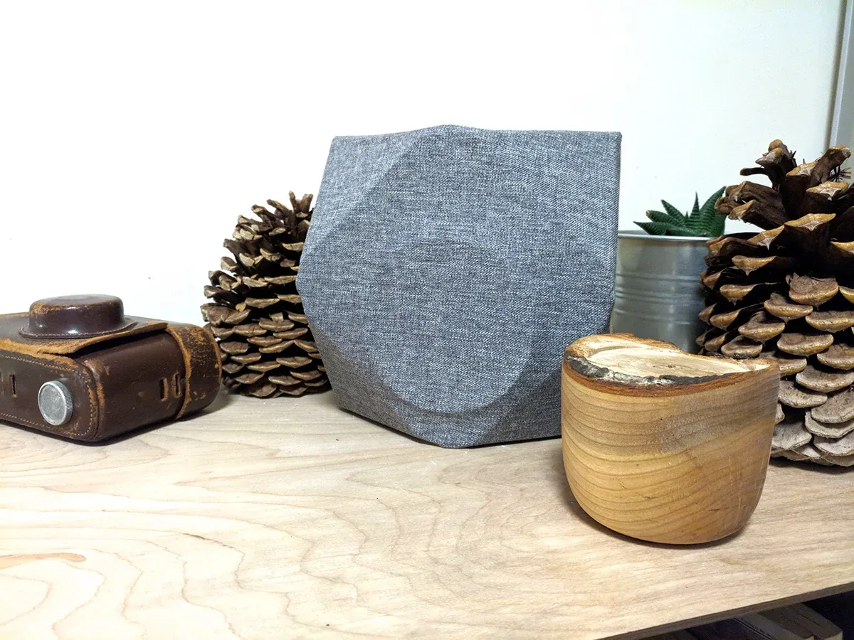
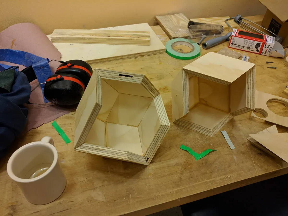
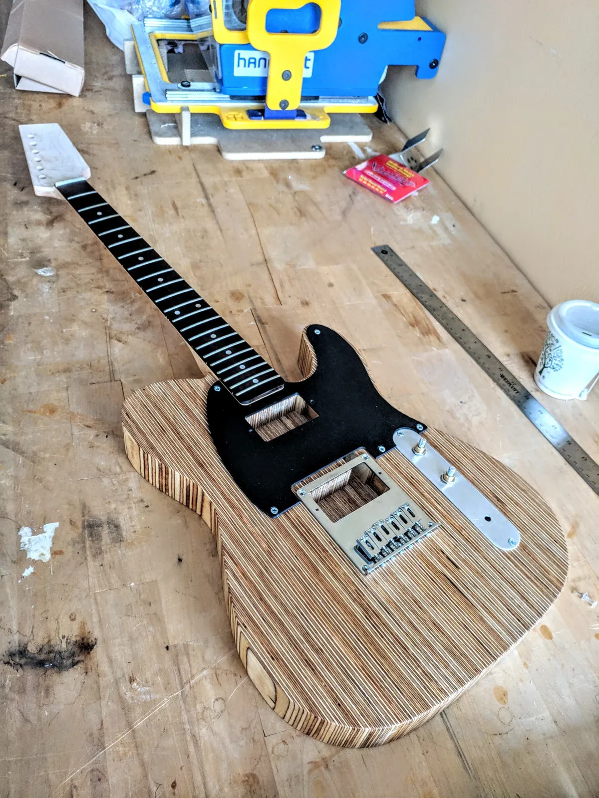
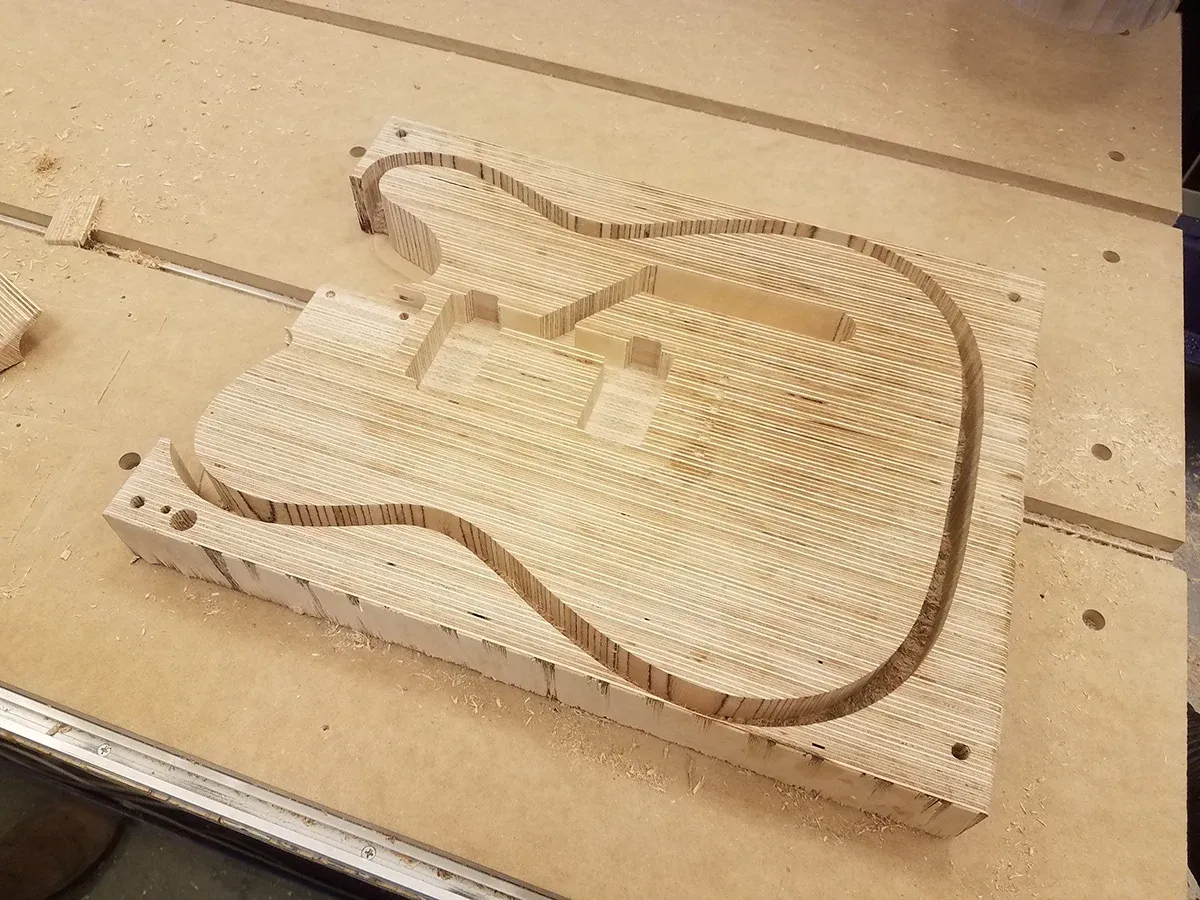
While at Olin College, I worked as the lead Shopbot CNC router instructor in the woodshop. In the off hours, I loved to build projects out of scrap wood. Some of these projects included:
Projects generally began as 3D models in CAD (Fusion 360), then were translated into toolpaths with Shopbot’s g-code generation software.